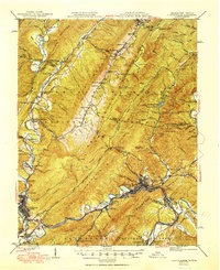
1949 Map of Clifton Forge
USGS Topo · Published 1949About this map
The Jackson River carves a winding path through the heart of the Rich Patch Mountains and Warm Springs Mountain, anchoring a landscape defined by heavy industry and natural landmarks. In the southern portion of the map, the industrial hubs of Covington and Clifton Forge are connected by the busy lines of the Chesapeake and Ohio railroad. This rail network supported local extraction efforts, most notably at the Rich Patch Mines near Glen Wilton.
Find a feature on this map
137 named features on this map. Tap any name to fly to it.
Don’t see what you’re looking for? This feature index may not catch every label — zoom into the map to look around manually.
Map Details
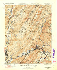
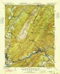
Editions of this 1949 Clifton Forge Map
3 editions found
Other maps of this area

1887 · Lewisburg
USGS Topo · 1:125,000

1891 · Lewisburg
USGS Topo · 1:125,000

1891 · Huntersville
USGS Topo · 1:125,000

1894 · Huntersville
USGS Topo · 1:125,000

1894 · Natural Bridge
USGS Topo · 1:125,000

1894 · Natural Bridge
USGS Topo · 1:62,500

1901 · Monterey
USGS Topo · 1:125,000

1907 · Natural Bridge Special
USGS Topo · 1:62,500

1913 · Eagle Rock
USGS Topo · 1:48,000

1915 · Eagle Rock
USGS Topo · 1:62,500