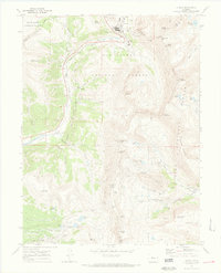
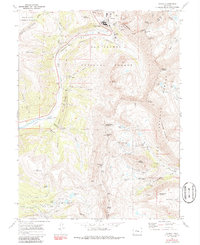
1970 Map of Climax
USGS Topo · Published 1973About this map
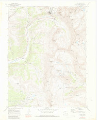
The high-altitude mining landscape of the Continental Divide dominates this survey, centered on the industrial operations at Climax. This area at the junction of Lake, Eagle, and Park counties is defined by intense mineral extraction, evidenced by the massive Glory Hole and numerous underground entry points like the Storke Portal and Ceresco Ridge Portal. The map captures the complex network of high-elevation mines that fueled the local economy, including the North London Mine and the South London Mine near Mosquito Pass. To the south, the headwaters of the Arkansas River begin their descent through deep gulches. The terrain is marked by prominent peaks such as Mount Arkansas and Mount Democrat, while the presence of the North London Mill and Pennsylvania Tunnel illustrates the scale of processing infrastructure required in this alpine environment. This document provides a detailed record of the mining footprint within the San Isabel National Forest and surrounding wilderness areas during the early 1970s.
Find a feature on this map
64 named features on this map. Tap any name to fly to it.
Don’t see what you’re looking for? This feature index may not catch every label — zoom into the map to look around manually.
Map Details
Editions of this 1970 Climax Map
6 editions found
Other maps of this area

1889 · Leadville
USGS Topo · 1:125,000

1891 · Leadville
USGS Topo · 1:125,000

1934 · Climax
USGS Topo · 1:48,000

1935 · Mount Elbert
USGS Topo · 1:62,500

1938 · Mt. Lincoln
USGS Topo · 1:48,000

1938 · Mount Elbert
USGS Topo · 1:62,500

1939 · Mount Elbert
USGS Topo · 1:62,500

1942 · Leadville
USGS Topo · 1:125,000

1945 · Mount Lincoln
USGS Topo · 1:62,500

1949 · Holy Cross
USGS Topo · 1:62,500