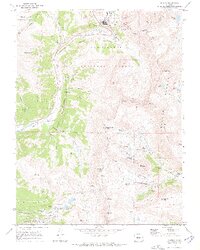
1970 Map of Climax
USGS Topo · Published 1973About this map
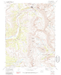
Mining operations at Climax and along the Continental Divide define this 1970 landscape, where the extraction of molybdenum and gold shaped the high-altitude terrain. The map documents an industrial infrastructure of tunnels, portals, and tailings, specifically noting the Phillipson Portal and Storke Portal near Fremont Pass. The Colorado and Southern railroad tracks follow the headwaters of the East Fork Arkansas River, providing a vital transit link through the mountain passes.
Find a feature on this map
76 named features on this map. Tap any name to fly to it.
Don’t see what you’re looking for? This feature index may not catch every label — zoom into the map to look around manually.
Map Details
Editions of this 1970 Climax Map
6 editions found
Other maps of this area

1889 · Leadville
USGS Topo · 1:125,000

1891 · Leadville
USGS Topo · 1:125,000

1934 · Climax
USGS Topo · 1:48,000

1935 · Mount Elbert
USGS Topo · 1:62,500

1938 · Mt. Lincoln
USGS Topo · 1:48,000

1938 · Mount Elbert
USGS Topo · 1:62,500

1939 · Mount Elbert
USGS Topo · 1:62,500

1942 · Leadville
USGS Topo · 1:125,000

1945 · Mount Lincoln
USGS Topo · 1:62,500

1949 · Holy Cross
USGS Topo · 1:62,500