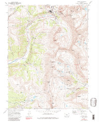
1970 Map of Climax
USGS Topo · Published 1986About this map
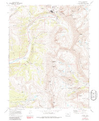
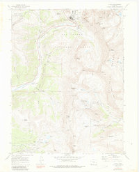
Industrial activity dominates the high mountain passes of the Continental Divide on this 1970 survey, centered on the massive mining complex at Climax. The landscape is a network of subterranean engineering and surface extraction, from the Phillipson Portal and Storke Portal at the north to the Glory Hole near Fremont Pass. This era represents a peak of operations for one of the world's primary molybdenum sources, reflected in the extensive infrastructure of tailings, pipelines, and the Colorado and Southern rail line. To the south and east, the map reveals the legacy of earlier silver and gold rushes. Steep gulches like Platte Gulch and Buckskin Creek are dotted with dozens of claims, including the North London Mine, South London Mine, and American Mine. These high-altitude sites, often situated above 12,000 feet near Mosquito Pass, showcase the extreme conditions miners faced while following veins through the Pike and San Isabel National Forests.
Find a feature on this map
77 named features on this map. Tap any name to fly to it.
Don’t see what you’re looking for? This feature index may not catch every label — zoom into the map to look around manually.
Map Details
Editions of this 1970 Climax Map
6 editions found
Other maps of this area

1889 · Leadville
USGS Topo · 1:125,000

1891 · Leadville
USGS Topo · 1:125,000

1934 · Climax
USGS Topo · 1:48,000

1935 · Mount Elbert
USGS Topo · 1:62,500

1938 · Mt. Lincoln
USGS Topo · 1:48,000

1938 · Mount Elbert
USGS Topo · 1:62,500

1939 · Mount Elbert
USGS Topo · 1:62,500

1942 · Leadville
USGS Topo · 1:125,000

1945 · Mount Lincoln
USGS Topo · 1:62,500

1949 · Holy Cross
USGS Topo · 1:62,500