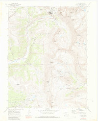
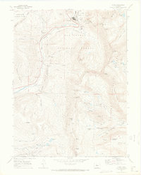
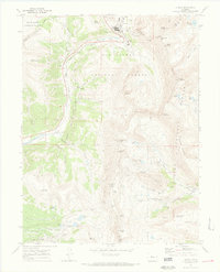
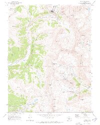
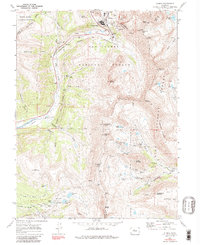
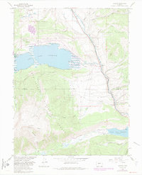
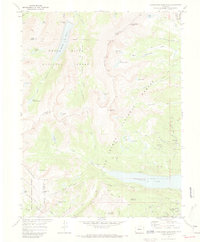
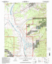
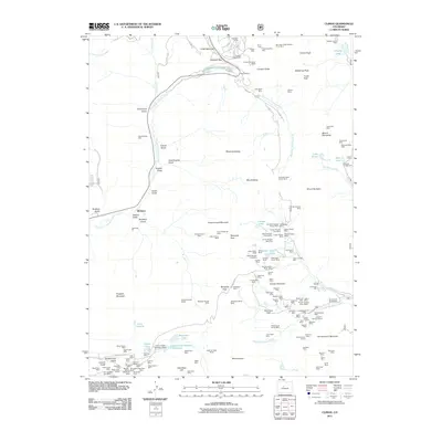
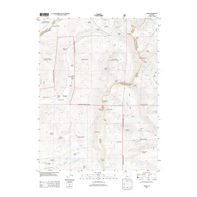
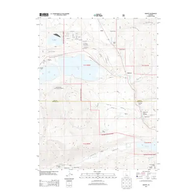
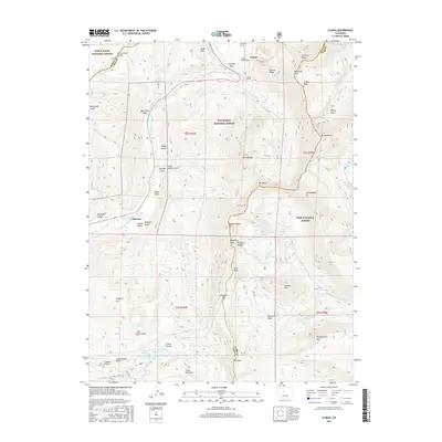
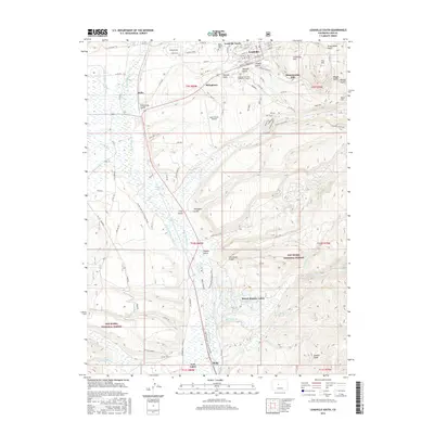
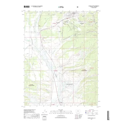
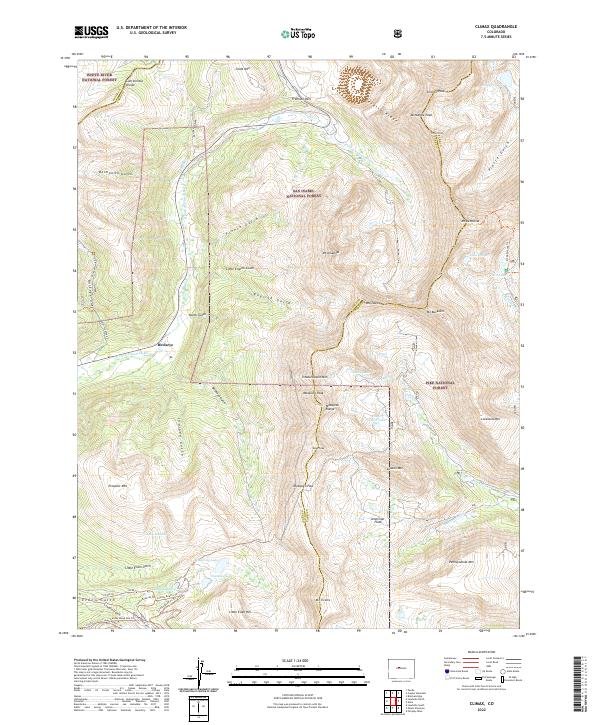
1970 Map of Climax
USGS Topo · Published 1988About this map
Climax sits atop the high-altitude industrial landscape of the Continental Divide, where the extraction of molybdenum and silver shaped the development of Lake and Park Counties. This 1970s survey captures an intensive mining environment characterized by complex underground structures and surface operations, including the Phillipson Portal and the massive Glory Hole excavation. The transportation network is defined by the high-elevation Fremont Pass and the Colorado and Southern railroad grade, which served these remote operations.
Find a feature on this map
77 named features on this map. Tap any name to fly to it.
Don’t see what you’re looking for? This feature index may not catch every label — zoom into the map to look around manually.
Map Details
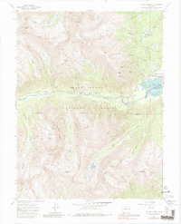
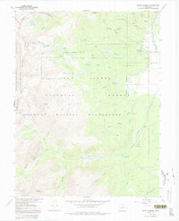
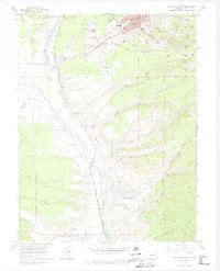
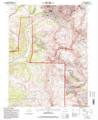
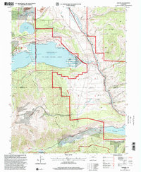
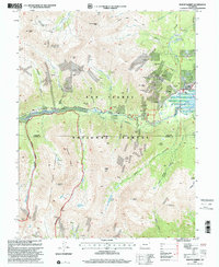
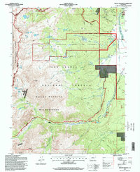
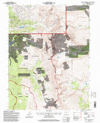
Editions of this 1970 Climax Map
6 editions found
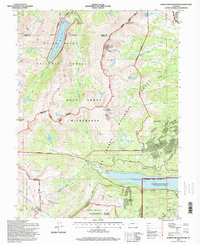
Historical Maps of Birdseye Through Time
52 maps found
1935 Mount Elbert
Lake County, CO

1938 Mount Elbert
Lake County, CO

1939 Mount Elbert
Lake County, CO
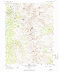
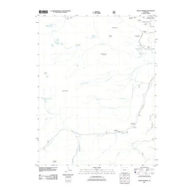
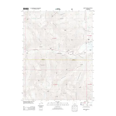
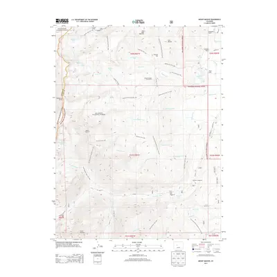
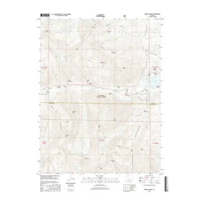
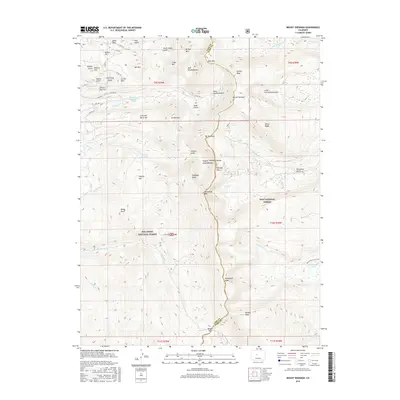
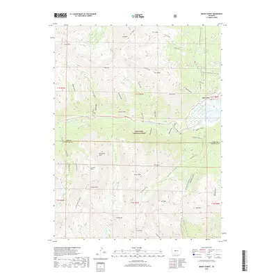
1961 Mount Sherman
Lake County, CO
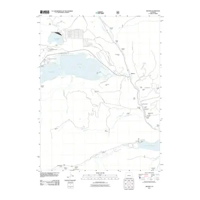
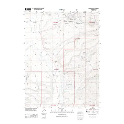
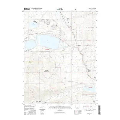
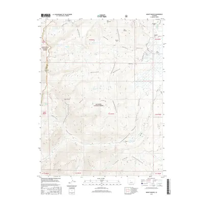
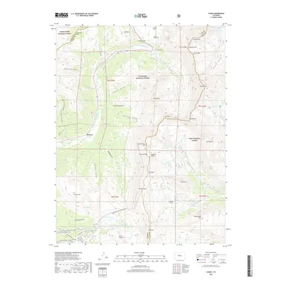
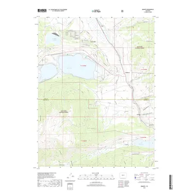
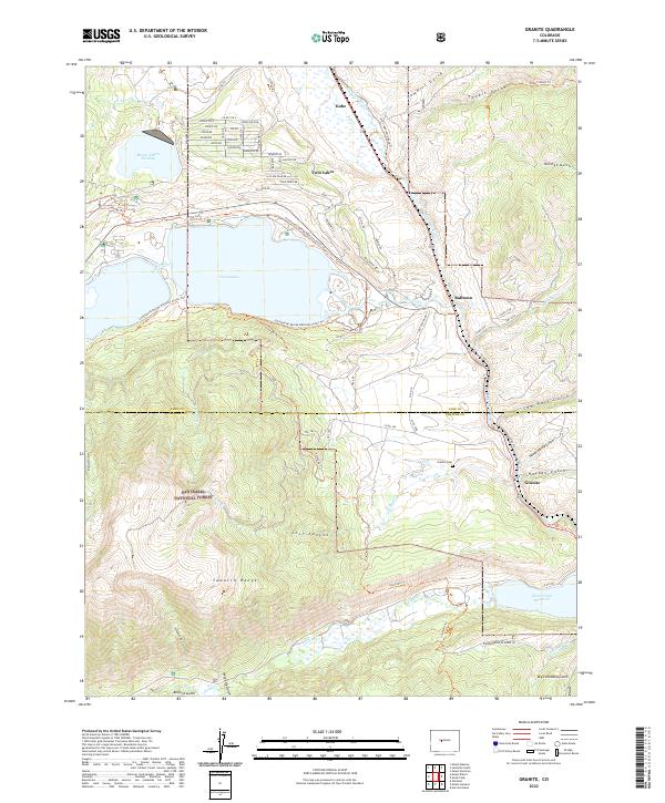
1967 Granite
Lake County, CO
1967 Mount Elbert
Lake County, CO
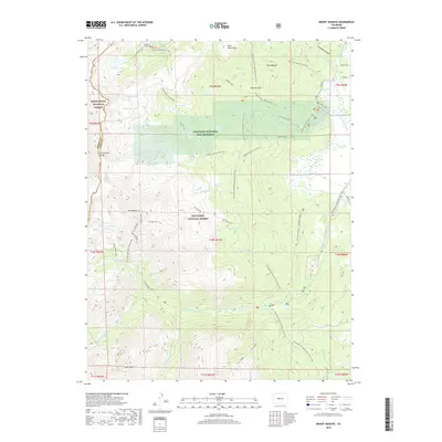
1967 Mount Massive
Lake County, CO
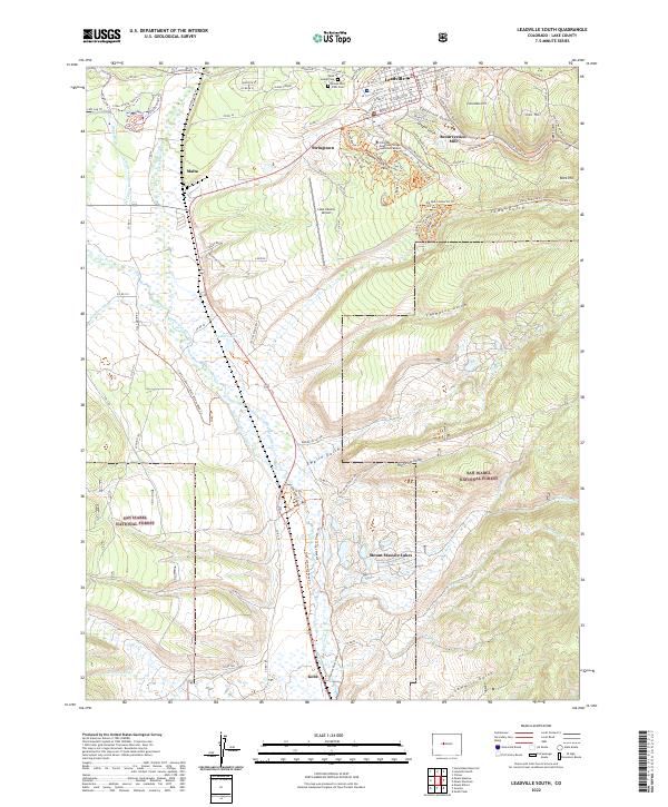
1969 Leadville South
Lake County, CO
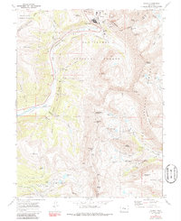
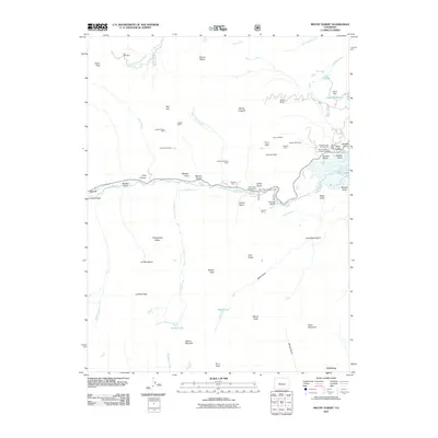
1970 Climax
Lake County, CO
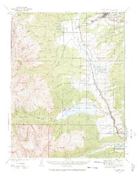
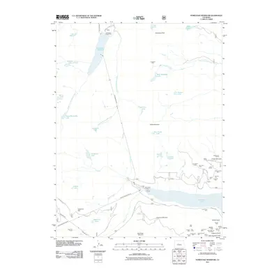
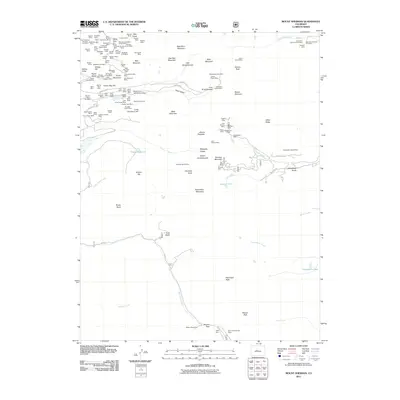
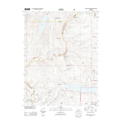
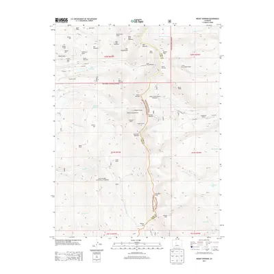
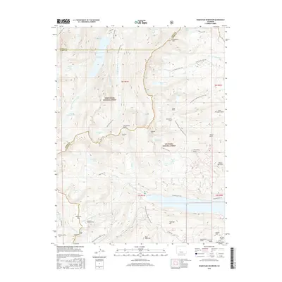
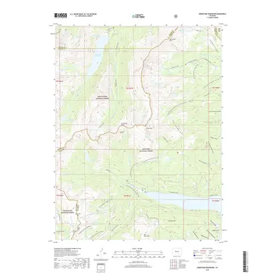
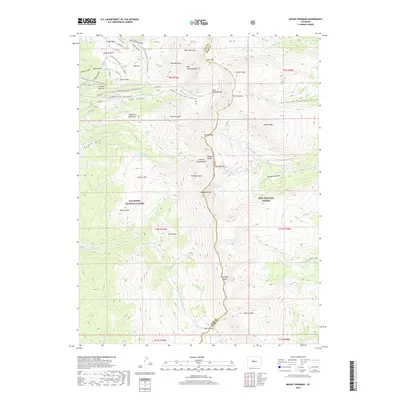
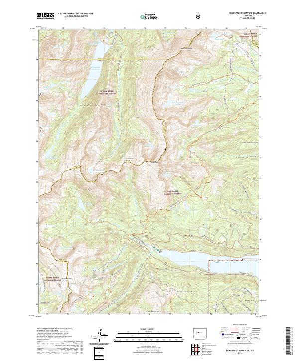
1970 Homestake Reservoir
Lake County, CO
1994 Climax
Lake County, CO
1994 Granite
Lake County, CO
1994 Homestake Reservoir
Lake County, CO
1994 Leadville South
Lake County, CO
1994 Mount Elbert
Lake County, CO
1994 Mount Massive
Lake County, CO
1994 Mount Sherman
Lake County, CO
2011 Climax
Lake County, CO
2011 Granite
Lake County, CO
2011 Homestake Reservoir
Lake County, CO
2011 Leadville South
Lake County, CO
2011 Mount Elbert
Lake County, CO
2011 Mount Massive
Lake County, CO
2011 Mount Sherman
Lake County, CO
2013 Climax
Lake County, CO
2013 Granite
Lake County, CO
2013 Homestake Reservoir
Lake County, CO
2013 Leadville South
Lake County, CO
2013 Mount Elbert
Lake County, CO
2013 Mount Massive
Lake County, CO
2013 Mount Sherman
Lake County, CO
2016 Climax
Lake County, CO
2016 Granite
Lake County, CO
2016 Homestake Reservoir
Lake County, CO
2016 Leadville South
Lake County, CO
2016 Mount Elbert
Lake County, CO
2016 Mount Massive
Lake County, CO
2016 Mount Sherman
Lake County, CO
2019 Climax
Lake County, CO
2019 Granite
Lake County, CO
2019 Homestake Reservoir
Lake County, CO
2019 Leadville South
Lake County, CO
2019 Mount Elbert
Lake County, CO
2019 Mount Massive
Lake County, CO
2019 Mount Sherman
Lake County, CO
2022 Climax
Lake County, CO
2022 Granite
Lake County, CO
2022 Homestake Reservoir
Lake County, CO
2022 Leadville South
Lake County, CO
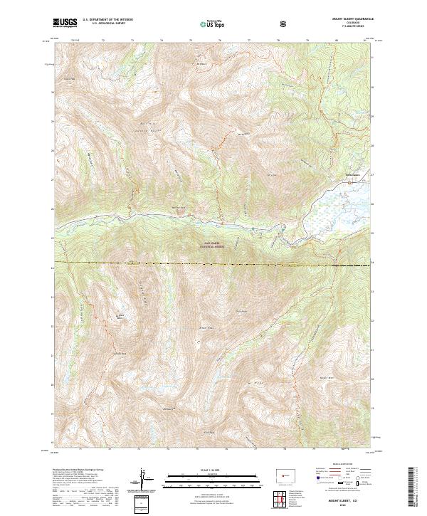
2022 Mount Elbert
Lake County, CO
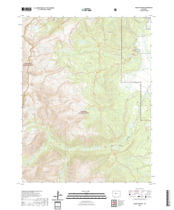
2022 Mount Massive
Lake County, CO
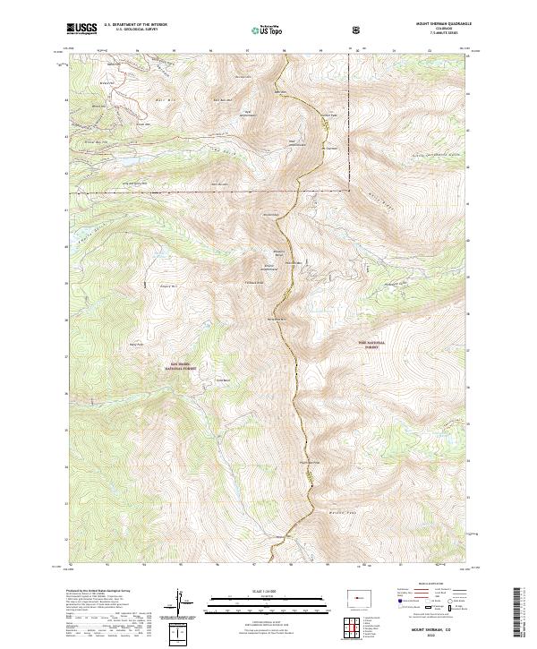
2022 Mount Sherman
Lake County, CO