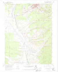
1969 Map of Leadville South
USGS Topo · Published 1974About this map
Leadville's silver and lead heritage is etched into the landscape of this 1969 survey, where the density of industrial features reveals a century of subterranean excavation. High-altitude mining operations such as the Tucson Mine, Columbia No 2 Mine, and the Moffat Mine surround Carbonate Hill, while the massive Yak Tunnel provides a vital underground artery for drainage and transport. The valley floor is marked by extensive Tailings and Tailings Pond deposits, illustrating the long-term impact of ore processing along California Gulch.
Find a feature on this map
60 named features on this map. Tap any name to fly to it.
Don’t see what you’re looking for? This feature index may not catch every label — zoom into the map to look around manually.
Map Details
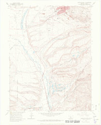
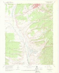
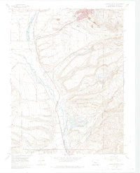
Editions of this 1969 Leadville South Map
4 editions found
Other maps of this area

1889 · Leadville
USGS Topo · 1:125,000

1891 · Leadville
USGS Topo · 1:125,000

1934 · Climax
USGS Topo · 1:48,000

1935 · Mount Elbert
USGS Topo · 1:62,500

1938 · Mt. Lincoln
USGS Topo · 1:48,000

1938 · Mount Elbert
USGS Topo · 1:62,500

1939 · Mount Elbert
USGS Topo · 1:62,500

1942 · Leadville
USGS Topo · 1:125,000

1945 · Mount Lincoln
USGS Topo · 1:62,500

1949 · Holy Cross
USGS Topo · 1:62,500