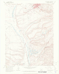
1969 Map of Leadville South
USGS Topo · Published 1972About this map
Mining operations and high-altitude infrastructure dominate the landscape south of Leadville, where the California Gulch drainage reflects over a century of industrial activity. This survey captures the remnants of early silver and gold camps, including the Adelaide and Oro town sites, alongside later large-scale works like the Yak Tunnel and the Resurrection Mill. The valley floor along the Arkansas River serves as a critical transportation corridor, utilized by the Denver and Rio Grande Western railroad and supporting smaller communities like Stringtown and Malta.
Find a feature on this map
64 named features on this map. Tap any name to fly to it.
Don’t see what you’re looking for? This feature index may not catch every label — zoom into the map to look around manually.
Map Details
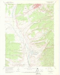
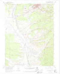
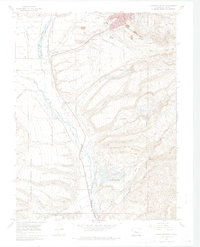
Editions of this 1969 Leadville South Map
4 editions found
Other maps of this area

1889 · Leadville
USGS Topo · 1:125,000

1891 · Leadville
USGS Topo · 1:125,000

1934 · Climax
USGS Topo · 1:48,000

1935 · Mount Elbert
USGS Topo · 1:62,500

1938 · Mt. Lincoln
USGS Topo · 1:48,000

1938 · Mount Elbert
USGS Topo · 1:62,500

1939 · Mount Elbert
USGS Topo · 1:62,500

1942 · Leadville
USGS Topo · 1:125,000

1945 · Mount Lincoln
USGS Topo · 1:62,500

1949 · Holy Cross
USGS Topo · 1:62,500