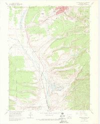
1969 Map of Leadville South
USGS Topo · Published 1972About this map
The industrial and high-altitude landscape of Lake County is vividly documented here, centered on the southern outskirts of Leadville and the mining-rich slopes of Carbonate Hill and Iron Hill. During this era of the late 1960s, the map records the extensive infrastructure of the silver and lead mining legacy, including the Yak Tunnel, the Thespian Mine, and the historic footprint of the Adelaide and Oro town sites. The Denver and Rio Grande Western railroad tracks trace a path along the Arkansas River valley, serving settlements like Malta and Stringtown. Local education and community life are represented by the campus of Colorado Mtn College and the Evergreen and St Joseph cemeteries. To the south, the natural terrain of the San Isabel National Forest begins to dominate, with Empire Gulch and Mt Massive Lakes providing a sharp contrast to the worked-over land of the Dredge Tailings near Kobe.
Find a feature on this map
50 named features on this map. Tap any name to fly to it.
Don’t see what you’re looking for? This feature index may not catch every label — zoom into the map to look around manually.
Map Details
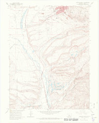
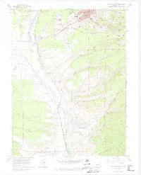
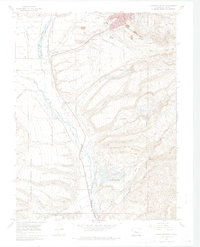
Editions of this 1969 Leadville South Map
4 editions found
Other maps of this area

1889 · Leadville
USGS Topo · 1:125,000

1891 · Leadville
USGS Topo · 1:125,000

1934 · Climax
USGS Topo · 1:48,000

1935 · Mount Elbert
USGS Topo · 1:62,500

1938 · Mt. Lincoln
USGS Topo · 1:48,000

1938 · Mount Elbert
USGS Topo · 1:62,500

1939 · Mount Elbert
USGS Topo · 1:62,500

1942 · Leadville
USGS Topo · 1:125,000

1945 · Mount Lincoln
USGS Topo · 1:62,500

1949 · Holy Cross
USGS Topo · 1:62,500