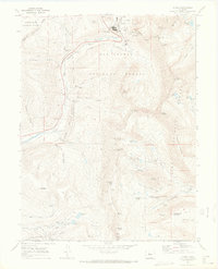
1970 Map of Climax
USGS Topo · Published 1973About this map
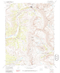
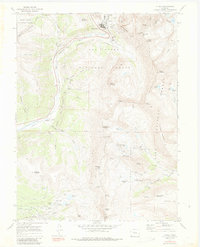
Climax stands at the high point of Fremont Pass on this 1970s survey, marking a landscape defined by intensive high-altitude industrial activity. The convergence of the White River National Forest, San Isabel National Forest, and Pike National Forest highlights the complex land management at the Continental Divide. The eastern half of the map is a dense network of mining infrastructure, including the North London Mine, American Mill, and the Pennsylvania Tunnel, reflecting a legacy of resource extraction that carved into peaks like London Mountain and Mount Democrat.
Find a feature on this map
81 named features on this map. Tap any name to fly to it.
Don’t see what you’re looking for? This feature index may not catch every label — zoom into the map to look around manually.
Map Details
Editions of this 1970 Climax Map
6 editions found
Other maps of this area

1889 · Leadville
USGS Topo · 1:125,000

1891 · Leadville
USGS Topo · 1:125,000

1934 · Climax
USGS Topo · 1:48,000

1935 · Mount Elbert
USGS Topo · 1:62,500

1938 · Mt. Lincoln
USGS Topo · 1:48,000

1938 · Mount Elbert
USGS Topo · 1:62,500

1939 · Mount Elbert
USGS Topo · 1:62,500

1942 · Leadville
USGS Topo · 1:125,000

1945 · Mount Lincoln
USGS Topo · 1:62,500

1949 · Holy Cross
USGS Topo · 1:62,500