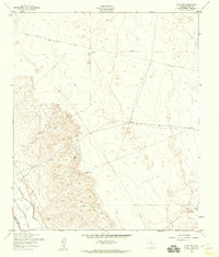
1955 Map of Clint NW
USGS Topo · Published 1959About this map
The Mesa escarpment dominates this 1950s terrain east of the Rio Grande valley, where the arid landscape is defined by the vital search for water. Surveyed by the Army Map Service, the sheet reveals a sparse network of ranching infrastructure, including Joint Well and South Well Water, which served as critical landmarks in this high-desert environment. Infrastructure for resource transport and communication is evident in the long stretches of Pipeline, Telephone lines, and Fence that bisect the open ground.
Find a feature on this map
12 named features on this map. Tap any name to fly to it.
Don’t see what you’re looking for? This feature index may not catch every label — zoom into the map to look around manually.
Map Details
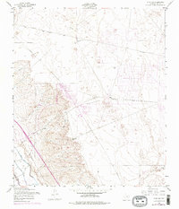
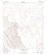
Editions of this 1955 Clint NW Map
3 editions found
Other maps of this area

1896 · El Paso
USGS Topo · 1:125,000

1908 · El Paso
USGS Topo · 1:125,000

1939 · Ysleta
USGS Topo · 1:62,500

1939 · Heuco Tanks
USGS Topo · 1:62,500

1940 · Heuco Tanks
USGS Topo · 1:62,500

1941 · Clint
USGS Topo · 1:62,500

1941 · Ysleta
USGS Topo · 1:62,500

1942 · Fort Bliss
USGS Topo · 1:62,500

1944 · Heuco Tanks
USGS Topo · 1:62,500

1945 · Ysleta
USGS Topo · 1:62,500
Featured Places
- Socorro, TX
- Horizon City, TX
- Agua Dulce Colonia, TX
- Spark's Addition Colonia, TX
- Spark's Addition Number 2 Colonia, TX