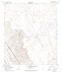
1955 Map of Clint NW
USGS Topo · Published 1974About this map
Horizon City stands as a focal point of development on this mid-century landscape, surrounded by an expansive grid of planned streets and utilities. The Army Map Service and Geological Survey recorded a region in transition, where desert terrain meets modern infrastructure. To the west, the prominent Mesa provides a sharp elevation contrast to the developing flats below. The map documents early recreational and utility features, including a Golf Course and a Drag Strip, alongside critical water management systems like the North Lateral and Spur Drain. Purple revisions from the early 1970s illustrate the expansion of the road network and urban footprint beyond the original 1954 aerial survey, revealing how the desert east of El Paso was being reshaped for residential use. Notable water sources such as Joint Well and South Well Water highlight the essential reliance on groundwater in this arid Texas environment.
Find a feature on this map
13 named features on this map. Tap any name to fly to it.
Don’t see what you’re looking for? This feature index may not catch every label — zoom into the map to look around manually.
Map Details
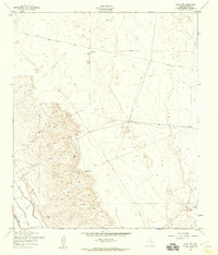
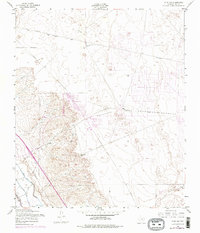
Editions of this 1955 Clint NW Map
3 editions found
Other maps of this area

1896 · El Paso
USGS Topo · 1:125,000

1908 · El Paso
USGS Topo · 1:125,000

1939 · Ysleta
USGS Topo · 1:62,500

1939 · Heuco Tanks
USGS Topo · 1:62,500

1940 · Heuco Tanks
USGS Topo · 1:62,500

1941 · Clint
USGS Topo · 1:62,500

1941 · Ysleta
USGS Topo · 1:62,500

1942 · Fort Bliss
USGS Topo · 1:62,500

1944 · Heuco Tanks
USGS Topo · 1:62,500

1945 · Ysleta
USGS Topo · 1:62,500
Featured Places
- Socorro, TX
- Horizon City, TX
- Agua Dulce Colonia, TX
- Spark's Addition Colonia, TX
- Spark's Addition Number 2 Colonia, TX