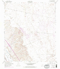
1955 Map of Clint NW
USGS Topo · Published 1974About this map
Horizon City emerges as a planned community in the desert landscape of El Paso County during the early 1970s. This survey, based on 1955 aerial photography with 1973 revisions, illustrates the transformation of the arid terrain from a region defined by remote watering points like Joint Well and South Well into a nascent suburban grid. A sprawling Golf Course and a dedicated Drag Strip indicate the leisure-focused development of the era, contrasting with the stark natural topography of the Mesa. Utility infrastructure is prominent throughout the quadrangle, with long stretches of Pipeline and Telephone lines crossing the open flats. The transition from traditional land use to residential expansion is captured here, showing the early infrastructure of Mesa Road and the irrigation-related Ysleta Lateral near the desert edge.
Find a feature on this map
13 named features on this map. Tap any name to fly to it.
Don’t see what you’re looking for? This feature index may not catch every label — zoom into the map to look around manually.
Map Details
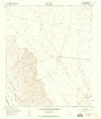
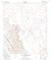
Editions of this 1955 Clint NW Map
3 editions found
Other maps of this area

1896 · El Paso
USGS Topo · 1:125,000

1908 · El Paso
USGS Topo · 1:125,000

1939 · Ysleta
USGS Topo · 1:62,500

1939 · Heuco Tanks
USGS Topo · 1:62,500

1940 · Heuco Tanks
USGS Topo · 1:62,500

1941 · Clint
USGS Topo · 1:62,500

1941 · Ysleta
USGS Topo · 1:62,500

1942 · Fort Bliss
USGS Topo · 1:62,500

1944 · Heuco Tanks
USGS Topo · 1:62,500

1945 · Ysleta
USGS Topo · 1:62,500
Featured Places
- Socorro, TX
- Horizon City, TX
- Agua Dulce Colonia, TX
- Spark's Addition Colonia, TX
- Spark's Addition Number 2 Colonia, TX