
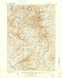
1901 Map of Cloud Peak
USGS Topo · Published 1909About this map
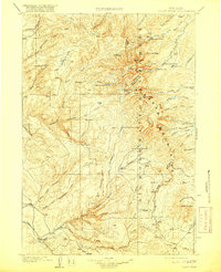
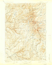
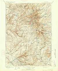
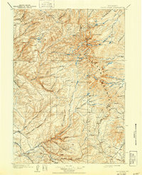
Bighorn National Forest dominates this turn-of-the-century topographic record, which captures the high-altitude landscape of northern Wyoming between Bighorn and Johnson counties. The survey work of H.S. Wallace and F.E. Matthes reveals a complex network of glacial features, from the dramatic heights of Cloud Pk. and Black Tooth to secluded alpine water bodies like Lake Solitude and Mistymoon Lake.
Find a feature on this map
57 named features on this map. Tap any name to fly to it.
Don’t see what you’re looking for? This feature index may not catch every label — zoom into the map to look around manually.
Map Details
Editions of this 1901 Cloud Peak Map
7 editions found
Other maps of this area

1895 · Dayton
USGS Topo · 1:125,000

1898 · Bald Mountain
USGS Topo · 1:125,000

1899 · Cloud peak
USGS Topo · 1:125,000

1900 · Fort McKinney
USGS Topo · 1:125,000

1901 · Cloud Peak
USGS Topo · 1:125,000

1901 · Dayton
USGS Topo · 1:125,000

1901 · Bald Mountain
USGS Topo · 1:125,000

1903 · Fort McKinney
USGS Topo · 1:125,000

1909 · Sheridan
USGS Topo · 1:125,000

1911 · Sheridan
USGS Topo · 1:125,000