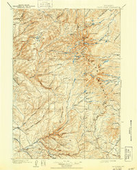
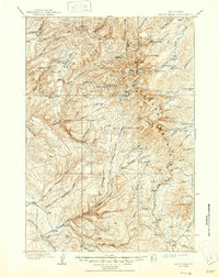
1901 Map of Cloud peak
USGS Topo · Published 1943About this map
Cloud Pk. and Black Tooth tower over the high country of the Big Horn Mountains in this late nineteenth-century survey. The landscape is defined by its complex glacial hydrology, where high-altitude water bodies like Lake Solitude, Seven Brothers Lakes, and Misty Moon Lake feed into a network of steep drainages including Paintrock Lakes and the Medicine Lodge Lakes. A clear divide is visible along the Boundary Line, separating Big Horn and Johnson counties as the terrain drops toward the canyon floors.
Find a feature on this map
73 named features on this map. Tap any name to fly to it.
Don’t see what you’re looking for? This feature index may not catch every label — zoom into the map to look around manually.
Map Details
Editions of this 1901 Cloud peak Map
7 editions found

Other maps of this area

1895 · Dayton
USGS Topo · 1:125,000

1898 · Bald Mountain
USGS Topo · 1:125,000

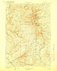
1899 · Cloud peak
USGS Topo · 1:125,000

1900 · Fort McKinney
USGS Topo · 1:125,000

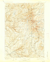
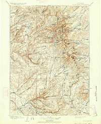
1901 · Cloud Peak
USGS Topo · 1:125,000

1901 · Dayton
USGS Topo · 1:125,000

1901 · Bald Mountain
USGS Topo · 1:125,000

1903 · Fort McKinney
USGS Topo · 1:125,000

1909 · Sheridan
USGS Topo · 1:125,000

1911 · Sheridan
USGS Topo · 1:125,000