
1956 Map of Clyattville
USGS Topo · Published 1957About this map
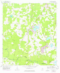
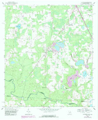
Clyattville sits at a geographic crossroads in the 1950s, defined by its position north of the meandering Withlacoochee River and the prominent Valdosta Southern railroad line. The landscape is a mosaic of agricultural clearings and wetlands, evidenced by the numerous ponds and creeks like Lanes Pond and Jumping Gully Creek. One of the most striking features is the Spoil Bank and nearby levee, suggesting significant earthmoving and water management in the area surrounding the settlement.
Find a feature on this map
31 named features on this map. Tap any name to fly to it.
Don’t see what you’re looking for? This feature index may not catch every label — zoom into the map to look around manually.
Map Details
Editions of this 1956 Clyattville Map
Other maps of this area

1954 · Valdosta
USGS Topo · 1:250,000

1956 · Nankin
USGS Topo · 1:24,000

1956 · Octahatchee
USGS Topo · 1:24,000

1958 · Valdosta
USGS Topo · 1:250,000

1959 · Valdosta
USGS Topo · 1:250,000

1960 · Cherry Lake
USGS Topo · 1:24,000

1960 · Pinetta
USGS Topo · 1:24,000

1961 · Valdosta
USGS Topo · 1:24,000

1961 · Ousley
USGS Topo · 1:24,000

1971 · Indianola
USGS Topo · 1:24,000