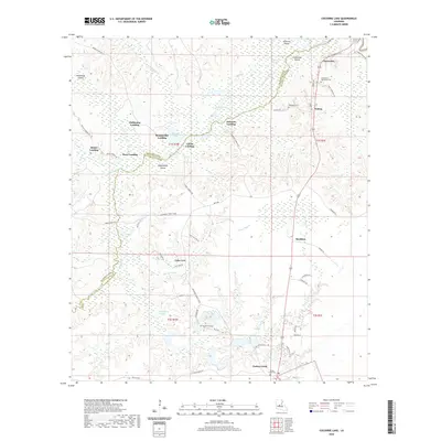
2020 Map of Cocodrie Lake
USGS Topo · Published 2020About this map
Cocodrie Lake and the dense wetlands of the Cocodrie Swamp dominate this landscape along the border of Rapides Parish and Evangeline Parish. The map reveals a specific cultural pattern of water-based access, marked by numerous named landings such as Hester Landing, Clubhouse Landing, and Clarks Landing that line the shores of Bayou Cocodrie. These points of entry, along with named landmasses like Jayhawkers Island and Peterson Island, suggest a history tied to the cypress-filled waterways and local navigation.
Find a feature on this map
65 named features on this map. Tap any name to fly to it.
Don’t see what you’re looking for? This feature index may not catch every label — zoom into the map to look around manually.
Map Details
Editions of this 2020 Cocodrie Lake Map
This is the sole edition of this map. No revisions or reprints were ever made.
Other maps of this area

1935 · Beaver
USGS Topo · 1:31,680

1935 · Turkey Creek
USGS Topo · 1:62,500

1935 · Lecompte
USGS Topo · 1:62,500

1942 · Oakdale
USGS Topo · 1:62,500

1949 · Glenmora
USGS Topo · 1:31,680

1949 · Turkey Creek
USGS Topo · 1:62,500

1952 · Lake Charles
USGS Topo · 1:250,000

1953 · Alexandria
USGS Topo · 1:250,000
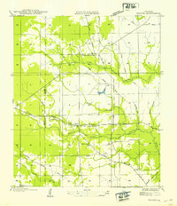
1954 · Beaver
USGS Topo · 1:31,680

1954 · Lake Charles
USGS Topo · 1:250,000