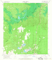
1967 Map of Cocodrie Lake
USGS Topo · Published 1968About this map
Cocodrie Lake and its intricate network of landings and bays define the northern portion of this landscape, situated along the parish line between Rapides Parish and Evangeline Parish. The 1960s economy is reflected in the active Sand and Gravel Pits concentrated near Turkey Creek and the heavy timber and wetland environment surrounding Butler Brake. Transportation is dominated by the Chicago Rock Island and Pacific railroad, which parallels the highway through the small communities of Clearwater, Nobrac, and Meridian. Several historical landings, including Blue Lake Landing, Clarks Landing, and Clubhouse Landing, indicate the lake's importance for local access. Cultural landmarks such as the Meridian Lookout Tower and Oak Grove Church, along with family-associated sites like Duprissey Cemetery and McCormack Cemetery, provide essential detail for local genealogical and historical research.
Find a feature on this map
42 named features on this map. Tap any name to fly to it.
Don’t see what you’re looking for? This feature index may not catch every label — zoom into the map to look around manually.
Map Details
Editions of this 1967 Cocodrie Lake Map
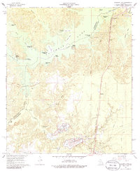
2 editions found
Other maps of this area

1935 · Beaver
USGS Topo · 1:31,680

1935 · Turkey Creek
USGS Topo · 1:62,500

1935 · Lecompte
USGS Topo · 1:62,500

1942 · Oakdale
USGS Topo · 1:62,500

1949 · Glenmora
USGS Topo · 1:31,680

1949 · Turkey Creek
USGS Topo · 1:62,500

1952 · Lake Charles
USGS Topo · 1:250,000

1953 · Alexandria
USGS Topo · 1:250,000
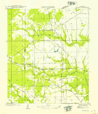
1954 · Beaver
USGS Topo · 1:31,680

1954 · Lake Charles
USGS Topo · 1:250,000