
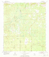
1954 Map of Cody
USGS Topo · Published 1956About this map
The St Marks River and its intricate drainage network define this 1950s landscape where Jefferson, Leon, and Wakulla counties meet. This region of Florida is characterized by its karst topography, where hydrological features like Hardy Sink and Florida Sink reveal the connection between surface waters and the underground aquifer. Small settlements such as Cody, Limestone, and Fanlew are dispersed across the terrain, connected by a nascent road system that navigates around Gum Swamp and through Tooles Hammock. The map illustrates a transitional period in rural Florida, where local landmarks like Bryant Lake and Black Lake served as vital geographic anchors for the surrounding agricultural and timber-producing communities before significant modern development altered the area's footprint.
Find a feature on this map
16 named features on this map. Tap any name to fly to it.
Don’t see what you’re looking for? This feature index may not catch every label — zoom into the map to look around manually.
Map Details
Editions of this 1954 Cody Map
2 editions found
Other maps of this area

1954 · Lloyd
USGS Topo · 1:24,000

1954 · Lafayette
USGS Topo · 1:24,000

1954 · Woodville
USGS Topo · 1:24,000

1954 · St. Marks NE
USGS Topo · 1:24,000

1954 · St. Marks
USGS Topo · 1:24,000

1954 · Valdosta
USGS Topo · 1:250,000

1954 · Tallahassee
USGS Topo · 1:250,000

1955 · Waukeenah
USGS Topo · 1:24,000

1955 · Nutall Rise
USGS Topo · 1:24,000

1955 · Wacissa
USGS Topo · 1:24,000