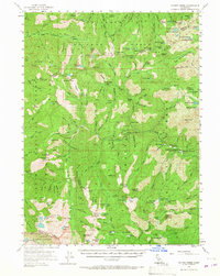
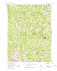
1955 Map of Coffee Creek
USGS Topo · Published 1967About this map
The Salmon River and Coffee Creek define the complex drainage systems of this high-elevation landscape where the Klamath, Shasta, and Trinity national forests meet. In the mid-1950s, the region was a hub of small-scale mining and seasonal ranching, marked by numerous claims such as the Dorleska Mine, Yellow Rose Mine, and Lady Slipper Mine. Isolated cabins and meadows provided seasonal shelter for land users, including the Wolford Cabin, Schlomberg Cabin, and Steevele Meadow. The presence of the Coffee Creek Guard Sta and Goldfield Campground indicates the early development of forest management and recreational access. High peaks like Deadman Peak, Sawtooth Ridge, and Ycatapom Peak surround a dense network of alpine lakes, from Long Gulch Lake to the South Fork Lakes, accessible only by a system of foot trails and rugged jeep paths that reflect the area's physical isolation before modern highway improvements.
Find a feature on this map
175 named features on this map. Tap any name to fly to it.
Don’t see what you’re looking for? This feature index may not catch every label — zoom into the map to look around manually.
Map Details
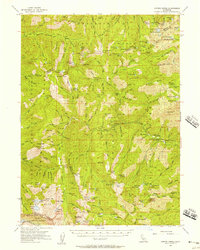
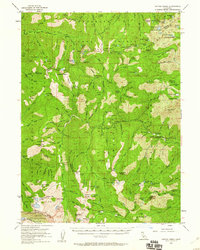
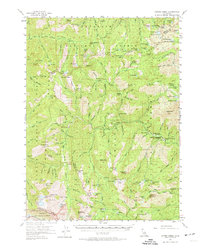
Editions of this 1955 Coffee Creek Map
5 editions found
Other maps of this area

1886 · Shasta
USGS Topo · 1:250,000

1890 · Red Bluff
USGS Topo · 1:250,000

1894 · Red Bluff
USGS Topo · 1:250,000

1894 · Shasta
USGS Topo · 1:250,000

1909 · Big Bar
USGS Topo · 1:96,000

1913 · Weaverville
USGS Topo · 1:125,000

1915 · Big Bar and Vicinity
USGS Topo · 1:250,000

1923 · Sawyers Bar
USGS Topo · 1:125,000

1931 · Etna
USGS Topo · 1:96,000

1934 · Etna
USGS Topo · 1:125,000