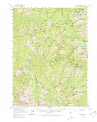
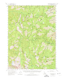
1955 Map of Coffee Creek
USGS Topo · Published 1980About this map
Mining operations and remote cabins define this mountainous landscape during the mid-1950s, where the borders of the Klamath National Forest, Shasta National Forest, and Trinity National Forest meet. The map documents an era of active high-country extraction, showing the Klatt Mine in the north and a concentration of gold-era claims including the Dorleska Mine, Yellow Rose Mine, and LeRoy Mine near Preachers Peak. Human settlement is sparse and utilitarian, represented by seasonal outposts such as Schlomberg Cabin, Francis Cabin, and the Lakeview Ranch. Water resources are abundant, with numerous glacial basins like Lower Boulder Lake and South Fork Lakes feeding the tributaries of the Salmon River. The difficult terrain is evidenced by the prominence of Sawtooth Ridge and the steep elevation changes surrounding Ycatapom Peak.
Find a feature on this map
127 named features on this map. Tap any name to fly to it.
Don’t see what you’re looking for? This feature index may not catch every label — zoom into the map to look around manually.
Map Details
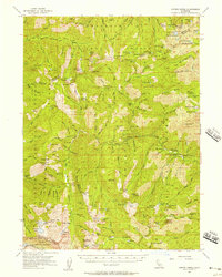
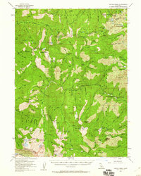
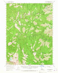
Editions of this 1955 Coffee Creek Map
5 editions found
Other maps of this area

1886 · Shasta
USGS Topo · 1:250,000

1890 · Red Bluff
USGS Topo · 1:250,000

1894 · Red Bluff
USGS Topo · 1:250,000

1894 · Shasta
USGS Topo · 1:250,000

1909 · Big Bar
USGS Topo · 1:96,000

1913 · Weaverville
USGS Topo · 1:125,000

1915 · Big Bar and Vicinity
USGS Topo · 1:250,000

1923 · Sawyers Bar
USGS Topo · 1:125,000

1931 · Etna
USGS Topo · 1:96,000

1934 · Etna
USGS Topo · 1:125,000