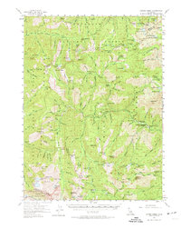
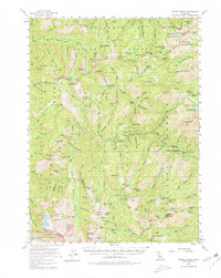
1955 Map of Coffee Creek
USGS Topo · Published 1974About this map
High-altitude gold mining and forest service management define this mid-century survey of the Trinity Alps. The landscape is dotted with remote outposts including Schlomberg Cabin, Hodges Cabin, and Francis Cabin, alongside established sites like the Coffee Creek Ranch. Hardrock mining activity is concentrated along the ridges and gulches, evidenced by the Dorleska Mine, Yellow Rose Mine, and the Lady Slipper Mine.
Find a feature on this map
158 named features on this map. Tap any name to fly to it.
Don’t see what you’re looking for? This feature index may not catch every label — zoom into the map to look around manually.
Map Details
Editions of this 1955 Coffee Creek Map
5 editions found
Other maps of this area

1886 · Shasta
USGS Topo · 1:250,000

1890 · Red Bluff
USGS Topo · 1:250,000

1894 · Red Bluff
USGS Topo · 1:250,000

1894 · Shasta
USGS Topo · 1:250,000

1909 · Big Bar
USGS Topo · 1:96,000

1913 · Weaverville
USGS Topo · 1:125,000

1915 · Big Bar and Vicinity
USGS Topo · 1:250,000

1923 · Sawyers Bar
USGS Topo · 1:125,000

1931 · Etna
USGS Topo · 1:96,000

1934 · Etna
USGS Topo · 1:125,000