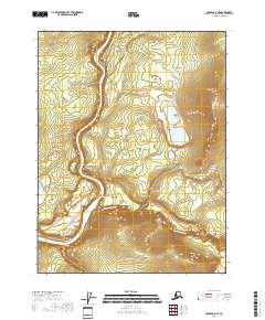
2018 Map of Coleen A-2 NE
USGS Topo · Published 2018About this map
Old Rampart sits along the eastern bank of the Porcupine River, serving as a primary point of historical interest in this remote northern Alaska corridor. The settlement is positioned near where the river makes several broad, sweeping bends through the terrain of the t27n r27e and t28n r27e townships. The landscape is defined by the convergence of major waterways, as the Salmon Trout River flows in from the east to join the Porcupine below the settlement. Away from the riverbanks, the geography is dotted with isolated water bodies such as Smith Lake and the Pern Lakes, which provide a contrast to the high ridges and steep contours that dominate the eastern half of the sheet. The proximity of the settlement to these major river junctions reflects the historic reliance on seasonal water routes for transportation in the Yukon-Koyukuk region.
Find a feature on this map
9 named features on this map. Tap any name to fly to it.
Don’t see what you’re looking for? This feature index may not catch every label — zoom into the map to look around manually.
Map Details
Editions of this 2018 Coleen A-2 NE Map
This is the sole edition of this map. No revisions or reprints were ever made.
Other maps of this area

1951 · Coleen
USGS Topo · 1:250,000

1956 · Coleen
USGS Topo · 1:250,000

1956 · Coleen B-2
USGS Topo · 1:63,360
1956 · Coleen B-1
USGS Topo · 1:63,360

1956 · Coleen A-1
USGS Topo · 1:63,360

1956 · Coleen A-2
USGS Topo · 1:63,360
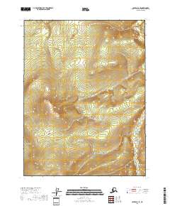
2018 · Coleen A-2 SE
USGS Topo · 1:25,000
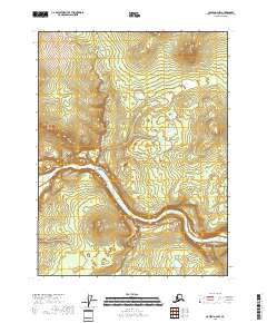
2018 · Coleen A-2 NW
USGS Topo · 1:25,000
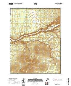
2018 · Coleen B-1 SW
USGS Topo · 1:25,000
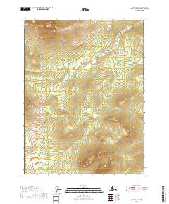
2018 · Coleen B-2 SW
USGS Topo · 1:25,000