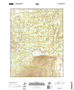
2018 Map of Coleen B-5 SE
USGS Topo · Published 2018About this map
Grayling Creek meanders through this remote portion of the Yukon-Koyukuk Census Area, defining the drainage patterns of the central landscape. The terrain is characterized by a dense network of small lakes and ponds in the north, giving way to more pronounced topographical relief in the south as indicated by the contour density near the boundary of t28n r21e. This 2018 survey, produced by the U.S. Geological Survey, utilizes high-resolution SPOT imagery from 2009 to document the hydrological and public land survey system details of this sub-arctic wilderness. The map provides a precise record of the township and range boundaries, including t29n r20e and t29n r21e, which are essential for navigating and managing these interior Alaskan lands.
Find a feature on this map
5 named features on this map. Tap any name to fly to it.
Don’t see what you’re looking for? This feature index may not catch every label — zoom into the map to look around manually.
Map Details
Editions of this 2018 Coleen B-5 SE Map
This is the sole edition of this map. No revisions or reprints were ever made.
Other maps of this area

1951 · Coleen
USGS Topo · 1:250,000

1956 · Coleen
USGS Topo · 1:250,000

1956 · Coleen A-5
USGS Topo · 1:63,360

1956 · Coleen A-4
USGS Topo · 1:63,360
1990 · Coleen B-5
USGS Topo · 1:63,360
1990 · Coleen B-4
USGS Topo · 1:63,360
2018 · Coleen B-5 SW
USGS Topo · 1:25,000
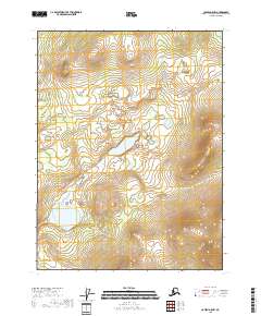
2018 · Coleen A-5 NW
USGS Topo · 1:25,000
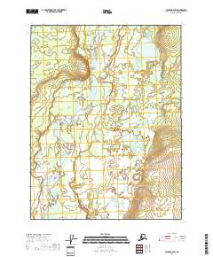
2018 · Coleen B-4 SW
USGS Topo · 1:25,000
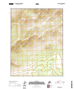
2018 · Coleen B-5 NE
USGS Topo · 1:25,000