
1960 Map of Colita
USGS Topo · Published 1961About this map
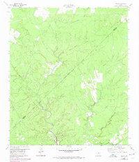
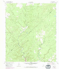
Kickapoo Creek winds extensively through this portion of the Piney Woods, defining a landscape dominated by a complex network of tributaries such as Steam Mill Creek and Magnolia Creek. The settlement of Colita serves as the primary focal point in the southeast, situated near the Trinity and Polk county line. The presence of Colita Ch and the neighboring Bethel Ch suggests the importance of these centers for the local community during the early 1960s.
Find a feature on this map
17 named features on this map. Tap any name to fly to it.
Don’t see what you’re looking for? This feature index may not catch every label — zoom into the map to look around manually.
Map Details
Editions of this 1960 Colita Map
3 editions found
Other maps of this area

1953 · Palestine
USGS Topo · 1:250,000

1954 · Beaumont
USGS Topo · 1:250,000

1955 · New Willard
USGS Topo · 1:62,500

1957 · Beaumont
USGS Topo · 1:250,000

1957 · Palestine
USGS Topo · 1:250,000

1960 · Carlisle
USGS Topo · 1:24,000

1961 · Onalaska
USGS Topo · 1:24,000

1963 · Groveton West
USGS Topo · 1:24,000

1963 · Groveton East
USGS Topo · 1:24,000
1963 · Trevat
USGS Topo · 1:24,000