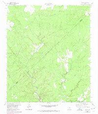
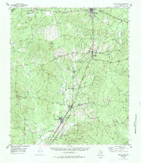
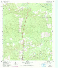
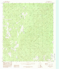
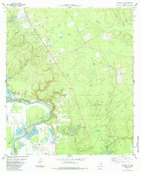
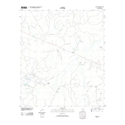
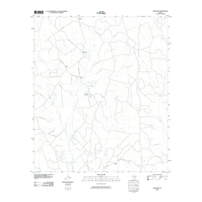
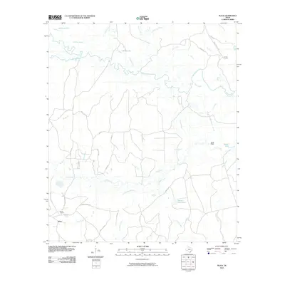
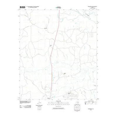
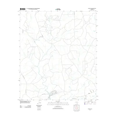
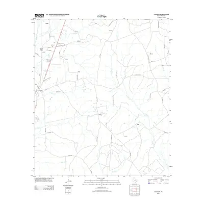
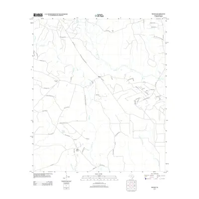
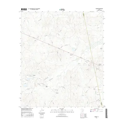
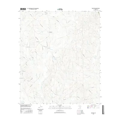
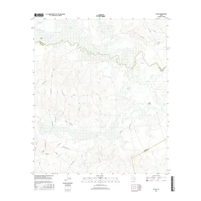
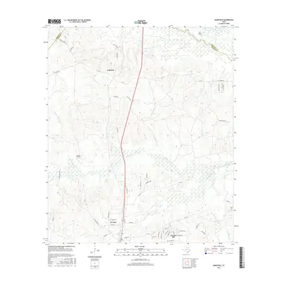
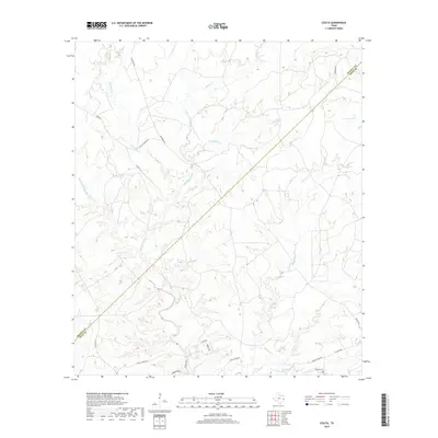
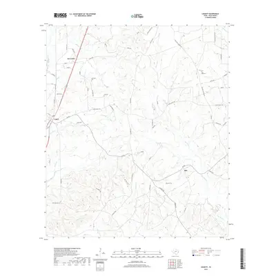
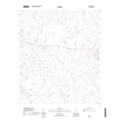
1960 Map of Colita
USGS Topo · Published 1974About this map
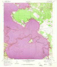
Colita and its surrounding woodlands are documented here during a period of significant hydrological transition for the region. The map shows the winding course of Kickapoo Creek and Upper Kickapoo Creek before they were fully transformed by the development of the Lake Livingston reservoir. Revisions from 1972 indicate areas subject to controlled inundation, providing a clear record of the landscape just prior to its flooding.
Find a feature on this map
17 named features on this map. Tap any name to fly to it.
Don’t see what you’re looking for? This feature index may not catch every label — zoom into the map to look around manually.
Map Details
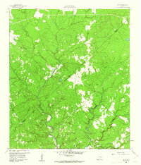
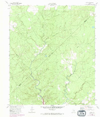
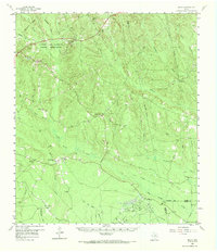
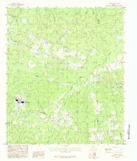
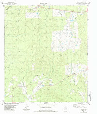
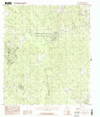
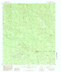
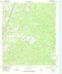
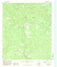
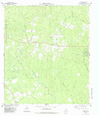
Editions of this 1960 Colita Map
3 editions found
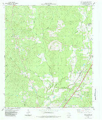
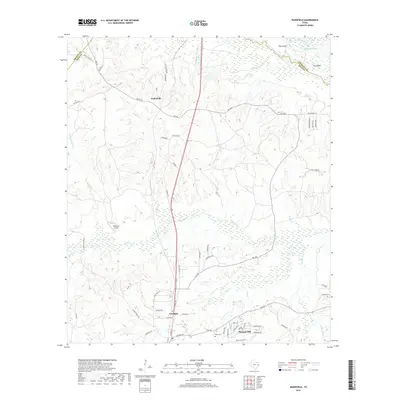
Historical Maps of Colita Through Time
87 maps found
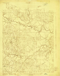
1927 Lufkin 4-c
Polk County, TX
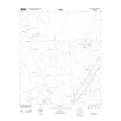
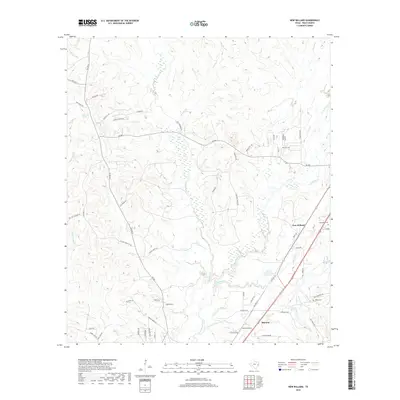
1955 New Willard
Polk County, TX
1958 Segno
Polk County, TX
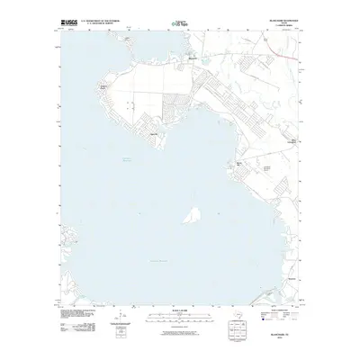
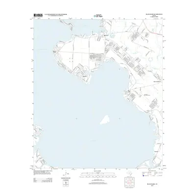
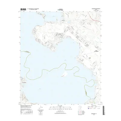
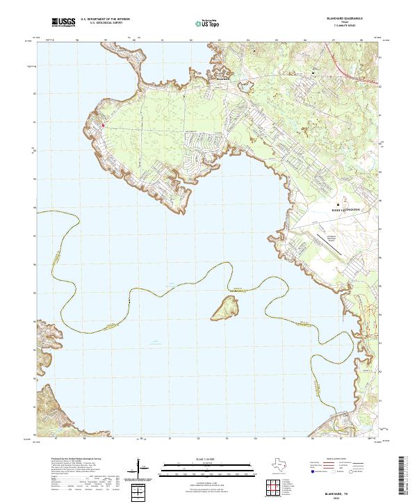
1960 Blanchard
Polk County, TX
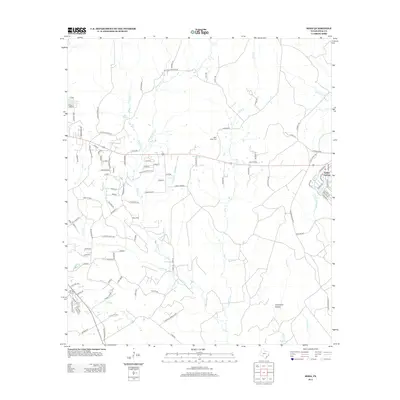
1960 Colita
Polk County, TX
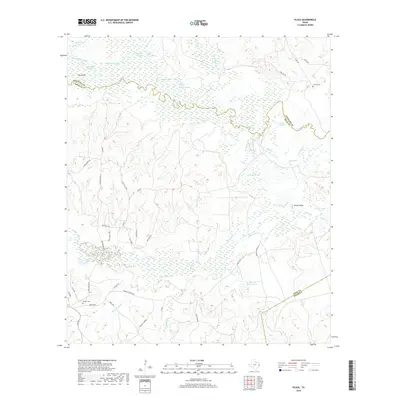
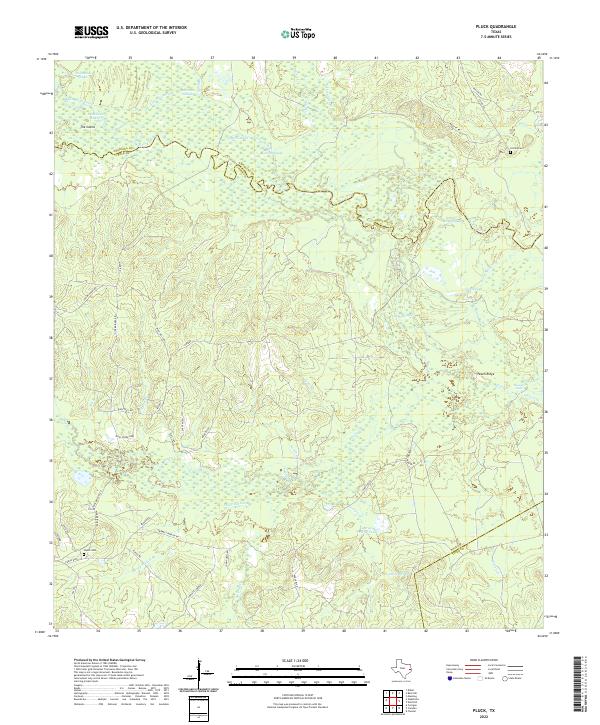
1963 Pluck
Polk County, TX
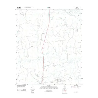
1963 Wakefield
Polk County, TX
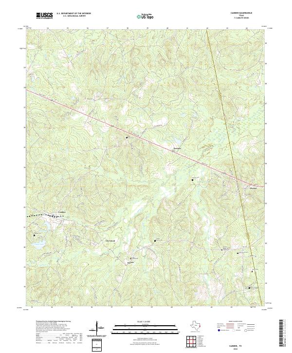
1984 Camden
Polk County, TX
1984 Carmona
Polk County, TX
1984 Dallardsville
Polk County, TX
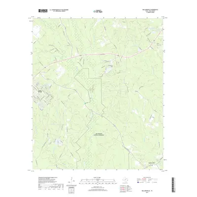
1984 Hortense
Polk County, TX
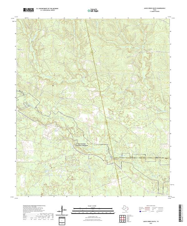
1984 Jacks Creek South
Polk County, TX
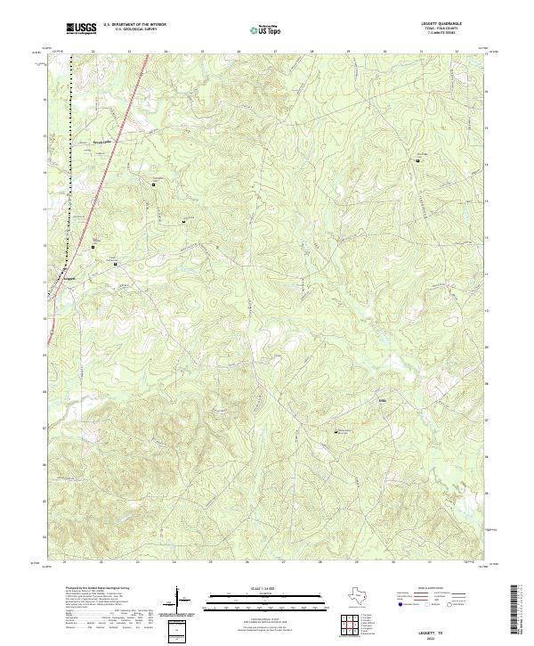
1984 Leggett
Polk County, TX
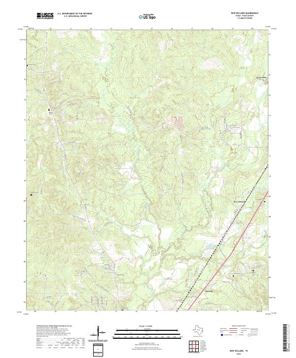
1984 New Willard
Polk County, TX
1984 Schwab City
Polk County, TX
1984 Segno
Polk County, TX
1984 Soda
Polk County, TX
2010 Blanchard
Polk County, TX
2010 Camden
Polk County, TX
2010 Carmona
Polk County, TX
2010 Colita
Polk County, TX
2010 Dallardsville
Polk County, TX
2010 Hortense
Polk County, TX
2010 Jacks Creek South
Polk County, TX
2010 Leggett
Polk County, TX
2010 New Willard
Polk County, TX
2010 Pluck
Polk County, TX
2010 Schwab City
Polk County, TX
2010 Segno
Polk County, TX
2010 Soda
Polk County, TX
2010 Wakefield
Polk County, TX
2013 Blanchard
Polk County, TX
2013 Camden
Polk County, TX
2013 Carmona
Polk County, TX
2013 Colita
Polk County, TX
2013 Dallardsville
Polk County, TX
2013 Hortense
Polk County, TX
2013 Jacks Creek South
Polk County, TX
2013 Leggett
Polk County, TX
2013 New Willard
Polk County, TX
2013 Pluck
Polk County, TX
2013 Schwab City
Polk County, TX
2013 Segno
Polk County, TX
2013 Soda
Polk County, TX
2013 Wakefield
Polk County, TX
2016 Blanchard
Polk County, TX
2016 Camden
Polk County, TX
2016 Carmona
Polk County, TX
2016 Colita
Polk County, TX
2016 Dallardsville
Polk County, TX
2016 Hortense
Polk County, TX
2016 Jacks Creek South
Polk County, TX
2016 Leggett
Polk County, TX
2016 New Willard
Polk County, TX
2016 Pluck
Polk County, TX
2016 Schwab City
Polk County, TX
2016 Segno
Polk County, TX
2016 Soda
Polk County, TX
2016 Wakefield
Polk County, TX
2019 Blanchard
Polk County, TX
2019 Camden
Polk County, TX
2019 Carmona
Polk County, TX
2019 Colita
Polk County, TX
2019 Dallardsville
Polk County, TX
2019 Hortense
Polk County, TX
2019 Jacks Creek South
Polk County, TX
2019 Leggett
Polk County, TX
2019 New Willard
Polk County, TX
2019 Pluck
Polk County, TX
2019 Schwab City
Polk County, TX

2019 Segno
Polk County, TX
2019 Soda
Polk County, TX
2019 Wakefield
Polk County, TX
2022 Blanchard
Polk County, TX
2022 Camden
Polk County, TX
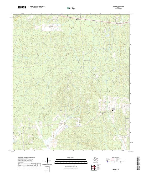
2022 Carmona
Polk County, TX
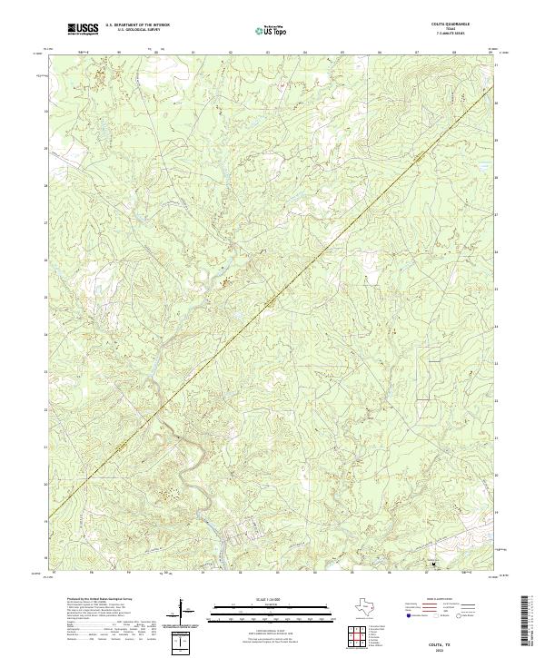
2022 Colita
Polk County, TX
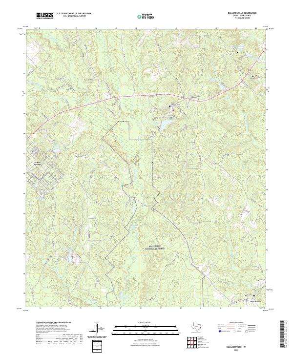
2022 Dallardsville
Polk County, TX
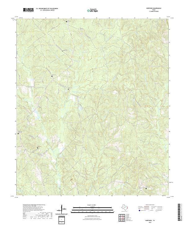
2022 Hortense
Polk County, TX
2022 Jacks Creek South
Polk County, TX
2022 Leggett
Polk County, TX
2022 New Willard
Polk County, TX
2022 Pluck
Polk County, TX
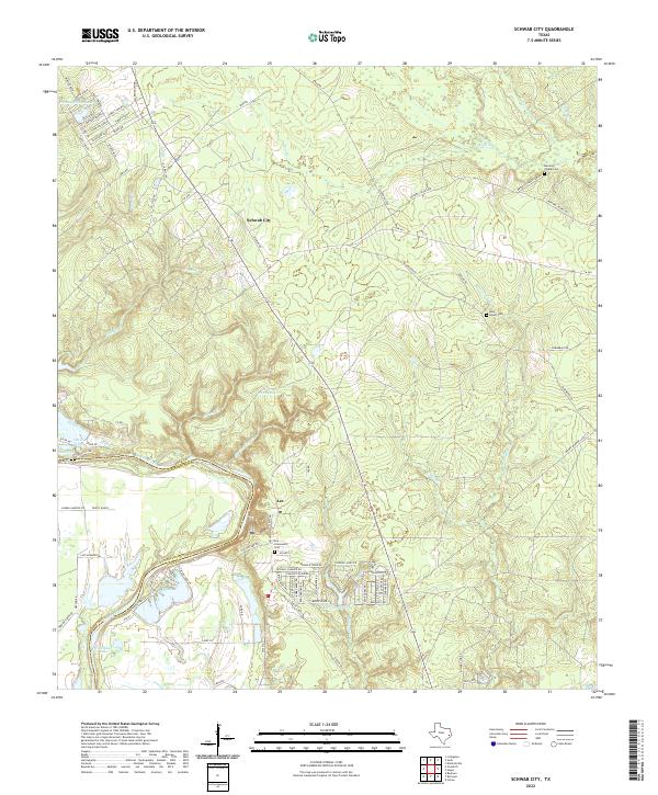
2022 Schwab City
Polk County, TX
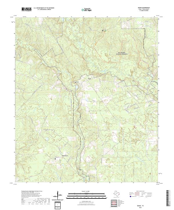
2022 Segno
Polk County, TX
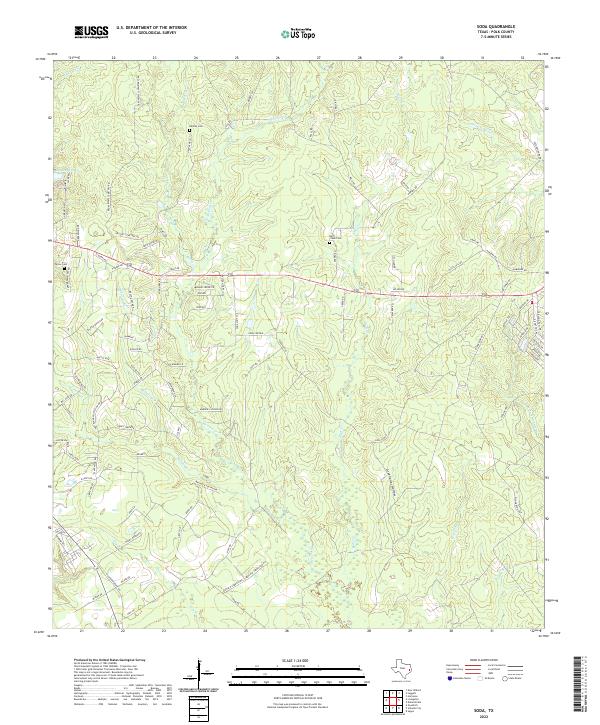
2022 Soda
Polk County, TX
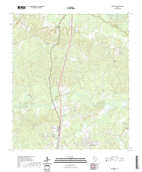
2022 Wakefield
Polk County, TX