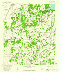
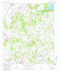
1959 Map of Colleyville
USGS Topo · Published 1960About this map
The rolling prairies between Roanoke and Colleyville are caught in a moment of transition from rural farming tracts to suburban townships. The landscape is defined by the winding paths of Big Bear Creek and Little Bear Creek, where several small communities such as Bransford and Old Union maintain their identity alongside expanding town boundaries. Local heritage is deeply rooted in the many country churches and burial grounds that dot the area, including the historic Lonesome Dove Ch and the Medlin Cem in the north.
Find a feature on this map
46 named features on this map. Tap any name to fly to it.
Don’t see what you’re looking for? This feature index may not catch every label — zoom into the map to look around manually.
Map Details
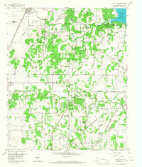
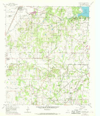
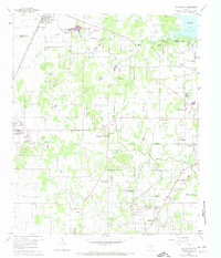
Editions of this 1959 Colleyville Map
5 editions found
Other maps of this area

1894 · Fort Worth
USGS Topo · 1:125,000

1931 · Grapevine
USGS Topo · 1:62,500

1954 · Dallas
USGS Topo · 1:250,000

1954 · Sherman
USGS Topo · 1:250,000

1955 · Haltom City
USGS Topo · 1:24,000

1955 · Keller
USGS Topo · 1:24,000

1955 · Haltom City
USGS Topo · 1:62,500

1958 · Dallas
USGS Topo · 1:250,000

1958 · Sherman
USGS Topo · 1:250,000

1959 · Euless
USGS Topo · 1:24,000