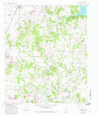
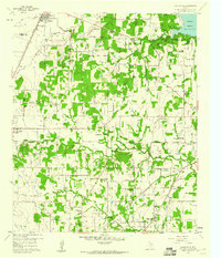
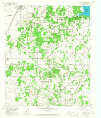
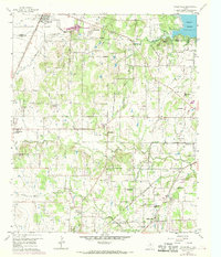
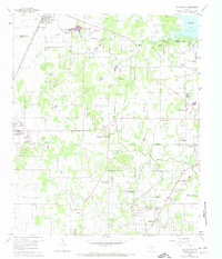
1959 Map of Colleyville
USGS Topo · Published 1982About this map
Grapevine Lake anchors the northeastern corner of this landscape, a region defined by the evolving boundaries of Colleyville, Southlake, and Westlake. The 1959 field data, updated with 1978 aerial photography, reveals the transition from rural agricultural land to suburban settlement. Notable historical landmarks such as Lonesome Dove Ch and White Chapel stand alongside earlier infrastructure like the St Louis Southwestern and Missouri Pacific railroads.
Find a feature on this map
45 named features on this map. Tap any name to fly to it.
Don’t see what you’re looking for? This feature index may not catch every label — zoom into the map to look around manually.
Map Details
Editions of this 1959 Colleyville Map
5 editions found
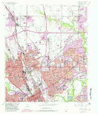
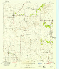
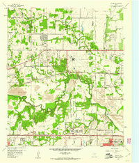
Other maps of this area

1894 · Fort Worth
USGS Topo · 1:125,000

1931 · Grapevine
USGS Topo · 1:62,500

1954 · Dallas
USGS Topo · 1:250,000

1954 · Sherman
USGS Topo · 1:250,000
1955 · Haltom City
USGS Topo · 1:24,000
1955 · Keller
USGS Topo · 1:24,000

1955 · Haltom City
USGS Topo · 1:62,500

1958 · Dallas
USGS Topo · 1:250,000

1958 · Sherman
USGS Topo · 1:250,000
1959 · Euless
USGS Topo · 1:24,000