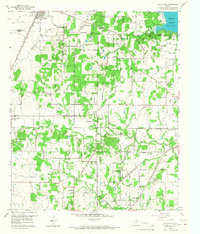
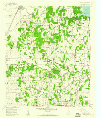
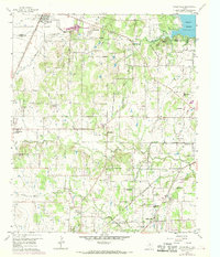
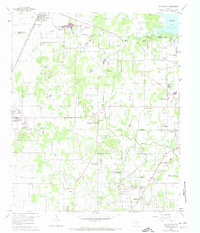
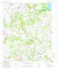
1959 Map of Colleyville
USGS Topo · Published 1968About this map
The St Louis Southwestern railroad and Texas and Pacific lines define the early developmental corridors of northeast Tarrant County on this 1959 survey. Small community centers and rural hubs like Bransford and Old Union appear alongside established town boundaries for Southlake, Westlake, and Colleyville. The landscape is a mix of wooded terrain and expanding agricultural plots, punctuated by numerous country landmarks such as Lonesome Dove Ch and White Chapel.
Find a feature on this map
42 named features on this map. Tap any name to fly to it.
Don’t see what you’re looking for? This feature index may not catch every label — zoom into the map to look around manually.
Map Details
Editions of this 1959 Colleyville Map
5 editions found
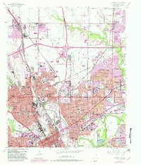
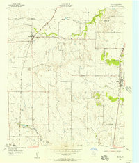
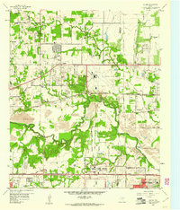
Other maps of this area

1894 · Fort Worth
USGS Topo · 1:125,000

1931 · Grapevine
USGS Topo · 1:62,500

1954 · Dallas
USGS Topo · 1:250,000

1954 · Sherman
USGS Topo · 1:250,000
1955 · Haltom City
USGS Topo · 1:24,000
1955 · Keller
USGS Topo · 1:24,000

1955 · Haltom City
USGS Topo · 1:62,500

1958 · Dallas
USGS Topo · 1:250,000

1958 · Sherman
USGS Topo · 1:250,000
1959 · Euless
USGS Topo · 1:24,000