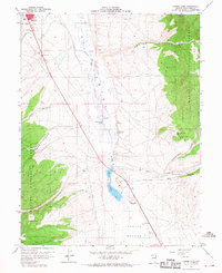
1958 Map of Comins Lake
USGS Topo · Published 1968About this map
Comins Lake and the high desert basins of White Pine County define this mid-century topographic record, which documents a landscape transitioning from pioneer ranching to industrial mining. The eastern edge of Ely and East Ely appears in the northwest, while the central valley is anchored by the CCC Ranch and the riparian corridor of Steptoe Creek. The map provides specific location data for several historical mining operations in the Duck Creek Range, including a cluster of named shafts such as Joe Shaft, John Shaft, and the Josephine Shaft. Genealogists and industrial historians can trace the foundations of the local economy through the identified Argus Mill (Site) and Monitor Mill (Site), alongside numerous named water sources like Shallenberger Spring and Fish Pond Springs that were critical for survival and industry in this arid terrain.
Find a feature on this map
34 named features on this map. Tap any name to fly to it.
Don’t see what you’re looking for? This feature index may not catch every label — zoom into the map to look around manually.
Map Details
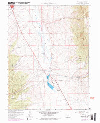
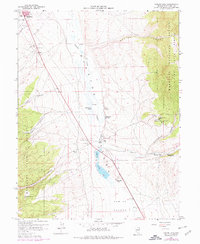
Editions of this 1958 Comins Lake Map
4 editions found
Other maps of this area

1952 · Ely
USGS Topo · 1:125,000

1956 · Ely
USGS Topo · 1:250,000

1958 · Ruth
USGS Topo · 1:24,000

1958 · East Ely
USGS Topo · 1:24,000

1958 · Comins Lake
USGS Topo · 1:24,000

1958 · Ely
USGS Topo · 1:62,500

1958 · McGill
USGS Topo · 1:62,500

1958 · Ely
USGS Topo · 1:24,000

1959 · Ely
USGS Topo · 1:250,000

1959 · Connors Pass
USGS Topo · 1:62,500