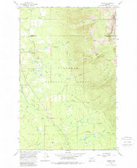
1965 Map of Condon
USGS Topo · Published 1986About this map
Flathead National Forest and the edge of the Bob Marshall Wilderness dominate this mid-century survey of the upper Swan Valley. The settlement of Condon serves as the central hub, supported by the Condon PO and the rural locality of Simpson. The landscape is defined by the winding course of the Swan River, which flows through a valley floor marked by Smith Flats and fed by numerous tributaries including McKay Creek, Cooney Creek, and Glacier Creek.
Find a feature on this map
30 named features on this map. Tap any name to fly to it.
Don’t see what you’re looking for? This feature index may not catch every label — zoom into the map to look around manually.
Map Details
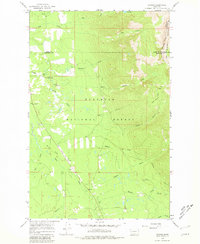
Editions of this 1965 Condon Map
3 editions found
Other maps of this area

1921 · Elbow Lake
USGS Topo · 1:125,000

1955 · Choteau
USGS Topo · 1:250,000

1957 · Choteau
USGS Topo · 1:250,000

1958 · Choteau
USGS Topo · 1:250,000

1962 · Choteau
USGS Topo · 1:250,000

1965 · Peck Lake
USGS Topo · 1:24,000

1965 · Condon
USGS Topo · 1:24,000

1965 · Sunburst Lake
USGS Topo · 1:24,000

1965 · Holland Lake
USGS Topo · 1:24,000

1965 · Swan Peak
USGS Topo · 1:24,000