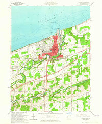
1960 Map of Conneaut
USGS Topo · Published 1965About this map
The industrial and maritime activity of Conneaut dominates this mid-century lakeshore landscape, where the B & L E and New York Chicago And ST Louis railroads converge to serve the heavy lake traffic. At the mouth of the serpentine Conneaut Creek, an extensive infrastructure including a Lighthouse, Ore Storage Area, and specialized Sewage Disposal facilities highlights the city's role as a vital transshipment point on Lake Erie. South of the urban center, the terrain transitions into a patchwork of rural hamlets and agricultural lands.
Find a feature on this map
47 named features on this map. Tap any name to fly to it.
Don’t see what you’re looking for? This feature index may not catch every label — zoom into the map to look around manually.
Map Details
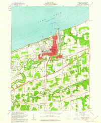
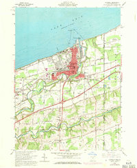
Editions of this 1960 Conneaut Map
3 editions found
Other maps of this area

1900 · Girard
USGS Topo · 1:62,500

1900 · Fairview
USGS Topo · 1:62,500

1906 · Conneaut
USGS Topo · 1:62,500

1950 · Cleveland
USGS Topo · 1:250,000

1950 · Erie
USGS Topo · 1:250,000

1956 · Cleveland
USGS Topo · 1:250,000

1957 · Fairview SW
USGS Topo · 1:24,000

1959 · East Springfield
USGS Topo · 1:24,000

1959 · Beaver Center
USGS Topo · 1:24,000

1959 · Erie
USGS Topo · 1:250,000