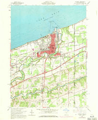
1960 Map of Conneaut
USGS Topo · Published 1971About this map
Conneaut serves as the focal point of this Ohio-Pennsylvania borderland, where the industrial infrastructure of the Bessemer and Lake Erie and Penn Central railroads meets the active waters of Conneaut Harbor. The map reveals a landscape defined by the winding course of Conneaut Creek, which is spanned by a Covered Bridge and flanked by local landmarks such as Camp Peet and Municipal Stadium.
Find a feature on this map
72 named features on this map. Tap any name to fly to it.
Don’t see what you’re looking for? This feature index may not catch every label — zoom into the map to look around manually.
Map Details
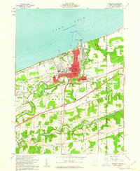
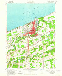
Editions of this 1960 Conneaut Map
3 editions found
Other maps of this area

1900 · Girard
USGS Topo · 1:62,500

1900 · Fairview
USGS Topo · 1:62,500

1906 · Conneaut
USGS Topo · 1:62,500

1950 · Cleveland
USGS Topo · 1:250,000

1950 · Erie
USGS Topo · 1:250,000

1956 · Cleveland
USGS Topo · 1:250,000

1957 · Fairview SW
USGS Topo · 1:24,000

1959 · East Springfield
USGS Topo · 1:24,000

1959 · Beaver Center
USGS Topo · 1:24,000

1959 · Erie
USGS Topo · 1:250,000