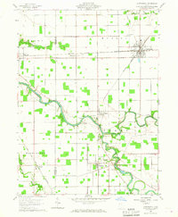
1960 Map of Continental
USGS Topo · Published 1967About this map
The confluence of the Auglaize River and Blanchard River serves as the geographic heart of this Western Ohio landscape, where the town of Continental developed as a significant rail junction for the New York Chicago and St Louis line. To the southwest, the traces of the Miami and Erie Canal (Abandoned) run past Mandale, marking the transition from the nineteenth-century canal era to the industrial rail period. The map reveals a dense network of local landmarks essential for genealogical research, including rural burial grounds like Franconia Cem and Fairview Cem, and churches such as South Mt Zion Ch. Industry is noted by a Quarry near Cascade Park, while small settlements like Dupont and Cloverdale dot the riverbanks. The detailed plotting of field lines and property boundaries provides a clear view of the agricultural organization across Monroe and Perry townships.
Find a feature on this map
33 named features on this map. Tap any name to fly to it.
Don’t see what you’re looking for? This feature index may not catch every label — zoom into the map to look around manually.
Map Details
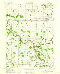
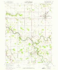
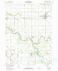
Editions of this 1960 Continental Map
4 editions found
Other maps of this area

1906 · Columbus Grove
USGS Topo · 1:62,500

1908 · Columbus Grove
USGS Topo · 1:62,500

1908 · Ottawa
USGS Topo · 1:62,500

1909 · Continental
USGS Topo · 1:62,500

1911 · Delphos
USGS Topo · 1:62,500

1944 · Delphos
USGS Topo · 1:62,500

1953 · Fort Wayne
USGS Topo · 1:250,000

1953 · Muncie
USGS Topo · 1:250,000

1956 · Muncie
USGS Topo · 1:250,000

1956 · Fort Wayne
USGS Topo · 1:250,000