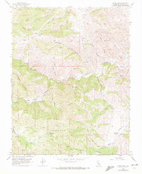
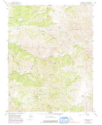
1956 Map of Copper Mtn
USGS Topo · Published 1972About this map
Naval Bombing Range operations define a significant portion of this Stanislaus County landscape, as mapped during the mid-1950s and updated in the early 1970s. The terrain is a complex network of canyons and gulches, where narrow seasonal waterways like Salado Creek and Adobe Creek drain the slopes of Copper Mtn. Resource extraction is evident at the Adobe Mine, while cattle ranching and recreational use appear at Oak Flats Ranch and Frank Raines Park. The nomenclature of the area reflects a rugged frontier history, with names such as Murderers Gulch, Blind Mans Gulch, and Salt Grass Canyon identifying the deep folds of the Diablo Range. Water management is critical in this environment, shown through numerous scattered Reservoir sites and natural sources like Salt Grass Springs and Fellows Spr. A limited network of jeep trails and unimproved roads provides the only access through this topography, illustrating the area's isolation prior to modern development.
Find a feature on this map
39 named features on this map. Tap any name to fly to it.
Don’t see what you’re looking for? This feature index may not catch every label — zoom into the map to look around manually.
Map Details
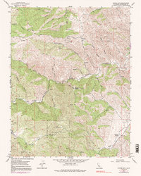
Editions of this 1956 Copper Mtn Map
6 editions found
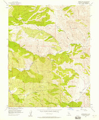
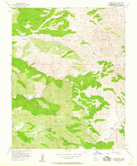
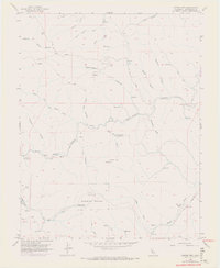
Other maps of this area

1913 · Romain
USGS Topo · 1:31,680

1915 · Westley
USGS Topo · 1:31,680

1916 · Patterson
USGS Topo · 1:31,680

1916 · Romain
USGS Topo · 1:31,680

1919 · Orestimba
USGS Topo · 1:62,500

1919 · Orestimba Creek
USGS Topo · 1:31,680

1922 · Carbona
USGS Topo · 1:62,500

1938 · Mt. Boardman
USGS Topo · 1:62,500

1941 · Orestimba
USGS Topo · 1:62,500
1941 · Modesto West
USGS Topo · 1:62,500