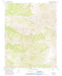
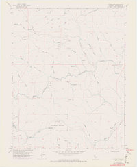
1956 Map of Copper Mtn
USGS Topo · Published 1991About this map
Naval Bombing Range operations occupy a significant portion of the landscape in this mid-century survey of the California Coast Ranges. The terrain is defined by deep incisions like Hospital Canyon and Blind Mans Gulch, which channel water toward Del Puerto Creek. While the land is primarily used for grazing and military training, evidence of earlier extraction persists at the Adobe Mine and various Prospect locations scattered throughout the hills.
Find a feature on this map
39 named features on this map. Tap any name to fly to it.
Don’t see what you’re looking for? This feature index may not catch every label — zoom into the map to look around manually.
Map Details
Editions of this 1956 Copper Mtn Map
6 editions found
Other maps of this area

1913 · Romain
USGS Topo · 1:31,680

1915 · Westley
USGS Topo · 1:31,680

1916 · Patterson
USGS Topo · 1:31,680

1916 · Romain
USGS Topo · 1:31,680

1919 · Orestimba
USGS Topo · 1:62,500

1919 · Orestimba Creek
USGS Topo · 1:31,680

1922 · Carbona
USGS Topo · 1:62,500

1938 · Mt. Boardman
USGS Topo · 1:62,500

1941 · Orestimba
USGS Topo · 1:62,500
1941 · Modesto West
USGS Topo · 1:62,500