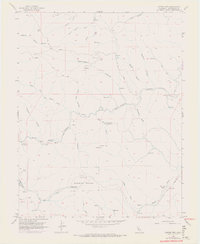
1956 Map of Copper Mtn
USGS Topo · Published 1972About this map
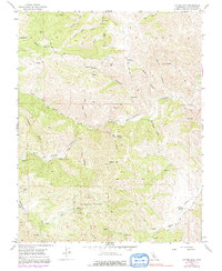
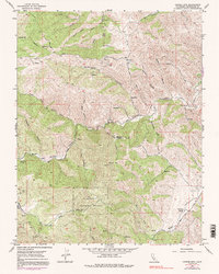
Naval Bombing Range dominates the southern landscape of this central California region, marking a significant military footprint amidst the canyons. This 1956 survey, updated with revisions in 1971, captures a rugged interior used for more than just training; the presence of Adobe Mine near Adobe Canyon and numerous prospects suggest a history of mineral exploration. The terrain is deeply incised by drainages like Del Puerto Creek and Salado Creek, where seasonal water sources such as Fellows Spr and Salt Grass Springs provided vital points for early settlers and ranchers. High points like Copper Mtn overlook a network of unimproved roads and jeep trails that connect isolated outposts like Oak Flats Ranch and Ballard Flat. This map preserves the mid-century character of the Stanislaus backcountry before modern developments altered these traditional ranching and mining landscapes.
Find a feature on this map
36 named features on this map. Tap any name to fly to it.
Don’t see what you’re looking for? This feature index may not catch every label — zoom into the map to look around manually.
Map Details
Editions of this 1956 Copper Mtn Map
6 editions found
Other maps of this area

1913 · Romain
USGS Topo · 1:31,680

1915 · Westley
USGS Topo · 1:31,680

1916 · Patterson
USGS Topo · 1:31,680

1916 · Romain
USGS Topo · 1:31,680

1919 · Orestimba
USGS Topo · 1:62,500

1919 · Orestimba Creek
USGS Topo · 1:31,680

1922 · Carbona
USGS Topo · 1:62,500

1938 · Mt. Boardman
USGS Topo · 1:62,500

1941 · Orestimba
USGS Topo · 1:62,500
1941 · Modesto West
USGS Topo · 1:62,500