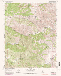
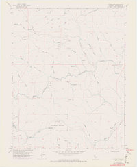
1956 Map of Copper Mtn.
USGS Topo · Published 1991About this map
Naval Bombing Range occupies a significant portion of this landscape, marking a period of mid-century military utility in the hills of Stanislaus County. The terrain is defined by a complex network of drainages including Del Puerto Creek and Adobe Creek, which carve through deep canyons like Hospital Canyon and Garden Canyon. This area shows a transition from resource extraction to recreation, with evidence of mining history at the Adobe Mine and various prospects set against the establishment of Frank Raines Park. High points like Copper Mtn and Gram look down upon isolated agricultural sites such as Oak Flats Ranch and high flats like Ballard Flat. The map also details numerous water sources essential for cattle and backcountry operations, from Fellows Spr to the Salt Grass Springs, connected by a web of primitive roads and 4WD tracks.
Find a feature on this map
67 named features on this map. Tap any name to fly to it.
Don’t see what you’re looking for? This feature index may not catch every label — zoom into the map to look around manually.
Map Details
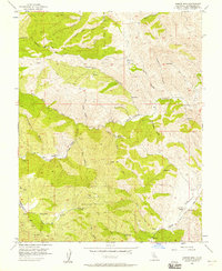
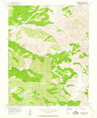
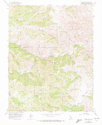
Editions of this 1956 Copper Mtn. Map
6 editions found
Other maps of this area

1913 · Romain
USGS Topo · 1:31,680

1915 · Westley
USGS Topo · 1:31,680

1916 · Patterson
USGS Topo · 1:31,680

1916 · Romain
USGS Topo · 1:31,680

1919 · Orestimba
USGS Topo · 1:62,500

1919 · Orestimba Creek
USGS Topo · 1:31,680

1922 · Carbona
USGS Topo · 1:62,500

1938 · Mt. Boardman
USGS Topo · 1:62,500

1941 · Orestimba
USGS Topo · 1:62,500
1941 · Modesto West
USGS Topo · 1:62,500