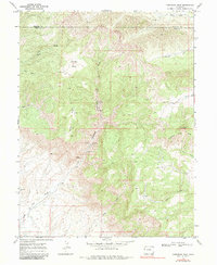
1968 Map of Corcoran Peak
USGS Topo · Published 1983About this map
The boundary between Garfield Co and Mesa Co bisects this high-elevation landscape, where the extraction industry left a distinct mark in the late 1960s. Several mining operations are concentrated within Hunter Canyon, including the Hunter Mine, McGimsey Mine, Hidden Treasure Mine, and Hy Grade Mine. These features, alongside scattered labels for Gas Well and Drill Hole sites, suggest a period of active resource exploration and development across the complex topography.
Find a feature on this map
24 named features on this map. Tap any name to fly to it.
Don’t see what you’re looking for? This feature index may not catch every label — zoom into the map to look around manually.
Map Details
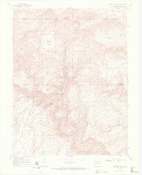
Editions of this 1968 Corcoran Peak Map
2 editions found
Other maps of this area

1929 · Roan Creek
USGS Topo · 1:62,500

1956 · Grand Junction
USGS Topo · 1:250,000

1959 · Grand Junction
USGS Topo · 1:250,000

1960 · Grand Junction
USGS Topo · 1:250,000

1962 · Grand Junction
USGS Topo · 1:250,000

1962 · Fruita
USGS Topo · 1:24,000
1962 · Round Mountain
USGS Topo · 1:24,000

1962 · Corcoran Point
USGS Topo · 1:24,000

1964 · Grand Junction
USGS Topo · 1:250,000

1965 · Grand Junction
USGS Topo · 1:250,000