
1951 Map of Cordova B-5
USGS Topo · Published 1964About this map
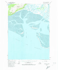
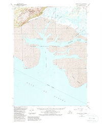
Gulf of Alaska coastal dynamics are captured in high detail here, showing the intricate network of silt and water where the Glacier River and Eyak River meet the sea. The landscape is dominated by shifting bars of sand and vast stretches of mud, with the Egg Islands standing as prominent landmarks within the Egg Island Channel. The influence of glacial runoff is evident in the complex braiding of Government Slough and Glacier Slough, which carve through the tidal flats.
Find a feature on this map
20 named features on this map. Tap any name to fly to it.
Don’t see what you’re looking for? This feature index may not catch every label — zoom into the map to look around manually.
Map Details
Editions of this 1951 Cordova B-5 Map
3 editions found
Other maps of this area

1948 · Cordova
USGS Topo · 1:250,000

1950 · Cordova C-6
USGS Topo · 1:63,360

1950 · Cordova C-4
USGS Topo · 1:63,360

1951 · Cordova
USGS Topo · 1:250,000

1951 · Cordova B-4
USGS Topo · 1:63,360

1951 · Cordova C-5
USGS Topo · 1:63,360

1951 · Cordova B-6
USGS Topo · 1:63,360

1953 · Cordova C-6
USGS Topo · 1:63,360

1953 · Cordova B-5
USGS Topo · 1:63,360

1953 · Cordova C-4
USGS Topo · 1:63,360