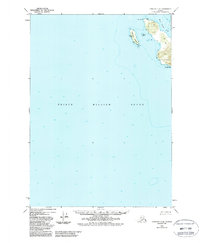
1950 Map of Cordova C-8
USGS Topo · Published 1988About this map
Prince William Sound dominates this mid-century maritime study, depicting the deep-water soundings and coastal topography of the eastern Alaskan coast. The map centers on the transition from the open waters of the sound to the intricate shoreline near Snug Corner Cove, an area characterized by significant coastal landmarks like Knowles Head and Porcupine Pt. The cartography details the bathymetry of the sound, with depth curves and soundings providing a record of the seafloor as it was understood in the 1950s.
Find a feature on this map
6 named features on this map. Tap any name to fly to it.
Don’t see what you’re looking for? This feature index may not catch every label — zoom into the map to look around manually.
Map Details
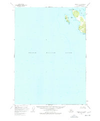
Editions of this 1950 Cordova C-8 Map
3 editions found
Other maps of this area

1948 · Cordova
USGS Topo · 1:250,000

1950 · Cordova C-7
USGS Topo · 1:63,360

1950 · Cordova B-7
USGS Topo · 1:63,360

1950 · Cordova D-7
USGS Topo · 1:63,360

1950 · Cordova C-8
USGS Topo · 1:63,360

1951 · Seward
USGS Topo · 1:250,000

1951 · Cordova
USGS Topo · 1:250,000

1951 · Seward B-1
USGS Topo · 1:63,360

1951 · Seward D-1
USGS Topo · 1:63,360

1951 · Cordova D-8
USGS Topo · 1:63,360