
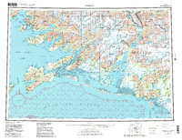
1959 Map of Cordova
USGS Topo · Published 1966About this map
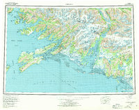
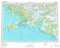
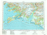
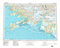
Cordova serves as the primary coastal hub in this mid-century survey of the Prince William Sound region, situated strategically between Orca Inlet and the Heney Range. The landscape is dominated by the massive ice fields of the Chugach Mountains, where the Miles Glacier and Martin River Glacier feed the complex Copper River delta. One of the map's most significant historical features is the Copper River and Northwestern RR, which traces a path from the coast toward the interior, crossing the river near Miles Lake. Further east, the small settlements of Katalla and Redwood appear near the Controller Bay shoreline, south of the Ragged Mountain range. This area represents a critical intersection of maritime activity and industrial transport, as seen in the remote outposts of Ellamar and Tatitlek along the northern reaches of Port Fidalgo.
Find a feature on this map
51 named features on this map. Tap any name to fly to it.
Don’t see what you’re looking for? This feature index may not catch every label — zoom into the map to look around manually.
Map Details
Editions of this 1959 Cordova Map
6 editions found
Other maps of this area

1946 · Blying Sound
USGS Topo · 1:250,000

1948 · Cordova
USGS Topo · 1:250,000

1948 · Middleton Island
USGS Topo · 1:250,000

1950 · Middleton Island
USGS Topo · 1:250,000

1950 · McCarthy A-8
USGS Topo · 1:63,360

1950 · Bering Glacier
USGS Topo · 1:250,000

1950 · Icy Bay
USGS Topo · 1:250,000

1950 · Valdez A-3
USGS Topo · 1:63,360

1950 · Cordova B-2
USGS Topo · 1:63,360

1950 · Cordova C-7
USGS Topo · 1:63,360