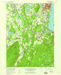
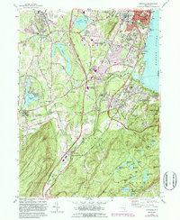
1957 Map of Cornwall
USGS Topo · Published 1959About this map
Newburgh and its southern neighboring townships anchor this late-1950s study of the Hudson River's western shore. The landscape is defined by a dense mixture of military, educational, and religious institutions, from the northern airfield at Stewart Air Force Base to the northern edge of the U.S. Military Academy West Point in the Highlands. Significant industrial and transport infrastructure is evident, including the Catskill Aqueduct and a complex rail network featuring the Erie RR and New York Central RR.
Find a feature on this map
92 named features on this map. Tap any name to fly to it.
Don’t see what you’re looking for? This feature index may not catch every label — zoom into the map to look around manually.
Map Details
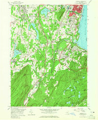
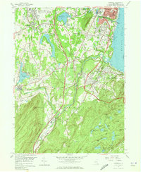
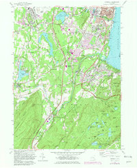
Editions of this 1957 Cornwall Map
5 editions found
Other maps of this area

1892 · West Point
USGS Topo · 1:62,500

1893 · Poughkeepsie
USGS Topo · 1:62,500

1894 · West Point
USGS Topo · 1:62,500

1894 · Poughkeepsie
USGS Topo · 1:62,500

1899 · West Point
USGS Topo · 1:62,500

1901 · West Point
USGS Topo · 1:62,500

1902 · Schunemunk
USGS Topo · 1:62,500

1903 · Poughkeepsie
USGS Topo · 1:62,500

1903 · Newburg
USGS Topo · 1:62,500

1930 · Schunemunk
USGS Topo · 1:48,000