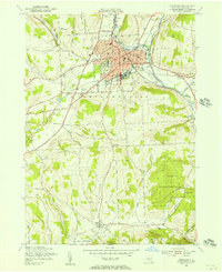
1955 Map of Cortland
USGS Topo · Published 1956About this map
The Tioughnioga River and its branches converge at Cortland, a mid-century hub of education, industry, and transportation. The city's landscape is defined by the prominent State College (Normal) campus and a dense grid of streets including Groton Ave and Port Watson St. A robust rail network, featuring the Delaware Lackawanna and Western and Lehigh Valley railroads, connects the central district to outlying hamlets like Blodgett Mills and Pokeville.
Find a feature on this map
55 named features on this map. Tap any name to fly to it.
Don’t see what you’re looking for? This feature index may not catch every label — zoom into the map to look around manually.
Map Details
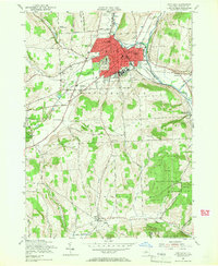
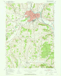
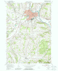
Editions of this 1955 Cortland Map
4 editions found
Other maps of this area

1898 · Moravia
USGS Topo · 1:62,500

1900 · Dryden
USGS Topo · 1:62,500

1902 · Moravia
USGS Topo · 1:62,500

1903 · Cortland
USGS Topo · 1:62,500

1903 · Harford
USGS Topo · 1:62,500

1906 · Catatonk
USGS Topo · 1:125,000

1942 · Groton
USGS Topo · 1:24,000

1943 · Groton
USGS Topo · 1:31,680
1943 · Sempronius
USGS Topo · 1:31,680
1944 · Homer
USGS Topo · 1:31,680