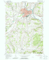
1955 Map of Cortland
USGS Topo · Published 1988About this map
Cortland serves as the central hub of this mid-century survey, shown during a period of significant post-war development. The urban grid is anchored by the State College and the local hospital, while a network of regional railroads including the Lehigh Valley, D L & W, and Erie Lackawanna converge in the city center, illustrating the area's importance as a transportation junction. Surrounding the city, the landscape transitions into the hills of Cortlandville and Virgil, where the Tioughnioga River and Trout Brook carve through the terrain.
Find a feature on this map
50 named features on this map. Tap any name to fly to it.
Don’t see what you’re looking for? This feature index may not catch every label — zoom into the map to look around manually.
Map Details
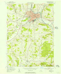
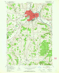
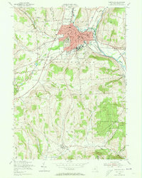
Editions of this 1955 Cortland Map
4 editions found
Other maps of this area

1898 · Moravia
USGS Topo · 1:62,500

1900 · Dryden
USGS Topo · 1:62,500

1902 · Moravia
USGS Topo · 1:62,500

1903 · Cortland
USGS Topo · 1:62,500

1903 · Harford
USGS Topo · 1:62,500

1906 · Catatonk
USGS Topo · 1:125,000

1942 · Groton
USGS Topo · 1:24,000

1943 · Groton
USGS Topo · 1:31,680
1943 · Sempronius
USGS Topo · 1:31,680
1944 · Homer
USGS Topo · 1:31,680