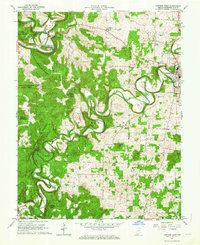
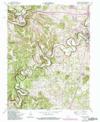
1962 Map of Corydon West
USGS Topo · Published 1973About this map
Indian Creek and the Blue River dominate this 1960s survey of Harrison County, carving deep loops through the terrain of the Harrison-Crawford State Forest. The town of Corydon sits on the eastern edge of the map, revealing the local infrastructure of the era, including the Harrison County Airport, the County Fairgrounds, and a Drive-in Theater. Rural life is centered around small congregations and family burial grounds, such as Gethsemane Ch, Perseverance Chapel, and Jordan Cem.
Find a feature on this map
45 named features on this map. Tap any name to fly to it.
Don’t see what you’re looking for? This feature index may not catch every label — zoom into the map to look around manually.
Map Details
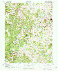
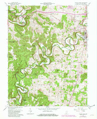
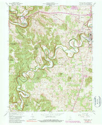
Editions of this 1962 Corydon West Map
5 editions found
Other maps of this area

1931 · Corydon
USGS Topo · 1:62,500

1944 · Corydon West
USGS Topo · 1:24,000

1946 · Leavenworth
USGS Topo · 1:24,000

1946 · Depauw
USGS Topo · 1:24,000

1947 · Leavenworth
USGS Topo · 1:24,000

1947 · Corydon West
USGS Topo · 1:24,000

1947 · Mauckport
USGS Topo · 1:24,000

1948 · Corydon East
USGS Topo · 1:24,000

1948 · Milltown
USGS Topo · 1:24,000

1948 · Laconia
USGS Topo · 1:24,000