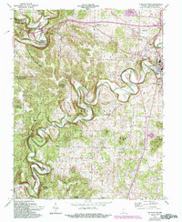
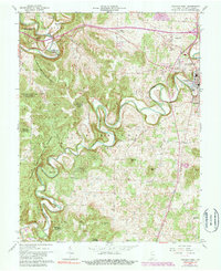
1962 Map of Corydon West
USGS Topo · Published 1994About this map
Indian Creek and the Blue River carve deep, meandering paths through the limestone hills of Harrison County, shaping the settlement patterns of this southern Indiana landscape. The historic seat of Corydon sits at the eastern edge of this sheet, serving as a hub for the surrounding rural communities of White Cloud and Heidelberg. Much of the western terrain is preserved within the Harrison-Crawford State Forest, where steep ridges like the Devils Backbone rise above Cold Friday Hollow. Genealogists will find a wealth of local landmarks, including the Oak Grove and Jordan cemeteries, alongside numerous country congregations such as Shiloh Church and Perseverance Chapel. The map also captures mid-century social life and infrastructure through features like the County Fairgrounds, a Drive-in Theater, and a Landing Strip north of the main town.
Find a feature on this map
39 named features on this map. Tap any name to fly to it.
Don’t see what you’re looking for? This feature index may not catch every label — zoom into the map to look around manually.
Map Details
Editions of this 1962 Corydon West Map
5 editions found
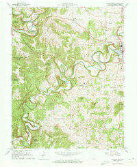
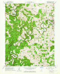
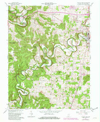
Other maps of this area

1931 · Corydon
USGS Topo · 1:62,500

1944 · Corydon West
USGS Topo · 1:24,000

1946 · Leavenworth
USGS Topo · 1:24,000

1946 · Depauw
USGS Topo · 1:24,000

1947 · Leavenworth
USGS Topo · 1:24,000

1947 · Corydon West
USGS Topo · 1:24,000

1947 · Mauckport
USGS Topo · 1:24,000

1948 · Corydon East
USGS Topo · 1:24,000

1948 · Milltown
USGS Topo · 1:24,000

1948 · Laconia
USGS Topo · 1:24,000