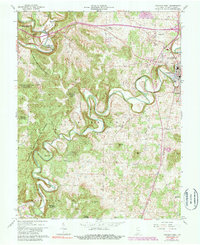
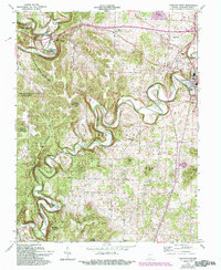
1962 Map of Corydon West
USGS Topo · Published 1983About this map
The meandering course of Indian Creek and the Blue River dominate this portion of Harrison County, where the historic settlement of Corydon serves as the focal point. To the west, the deeply dissected topography of the Harrison-Crawford State Forest rises sharply, featuring prominent landmarks like Scout Mtn and the narrow ridge known as the Devils Backbone. The cultural landscape is marked by a network of rural congregations and family burial sites, including Shiloh Ch, Perseverance Chapel, and Bliss Cem. Transportation and commerce are represented by the New Albany & Corydon RR and the County Fairgrounds, while smaller locales like White Cloud and Dixie anchor the outlying areas. Unique mid-century infrastructure is visible near the county seat, including a Drive-in Theater and a local Landing Strip.
Find a feature on this map
47 named features on this map. Tap any name to fly to it.
Don’t see what you’re looking for? This feature index may not catch every label — zoom into the map to look around manually.
Map Details
Editions of this 1962 Corydon West Map
5 editions found
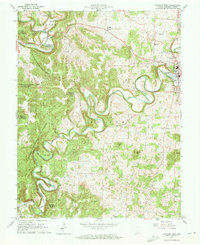
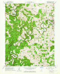
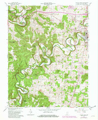
Other maps of this area

1931 · Corydon
USGS Topo · 1:62,500

1944 · Corydon West
USGS Topo · 1:24,000

1946 · Leavenworth
USGS Topo · 1:24,000

1946 · Depauw
USGS Topo · 1:24,000

1947 · Leavenworth
USGS Topo · 1:24,000

1947 · Corydon West
USGS Topo · 1:24,000

1947 · Mauckport
USGS Topo · 1:24,000

1948 · Corydon East
USGS Topo · 1:24,000

1948 · Milltown
USGS Topo · 1:24,000

1948 · Laconia
USGS Topo · 1:24,000