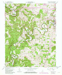
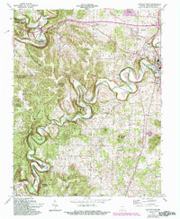
1962 Map of Corydon West
USGS Topo · Published 1981About this map
Indian Creek carves a deep, serpentine path through the heart of the Harrison-Crawford State Forest, creating dramatic terrain features like the Devils Backbone. To the east, the county seat of Corydon serves as a primary hub of development, where the Louisville & St Louis Ry meets the County Fairgrounds and local industry. The map reveals a high density of rural institutions, particularly churches such as Fairview Ch, Heidelberg Ch, and Perseverance Chapel, reflecting the communal structure of southern Indiana's hill country.
Find a feature on this map
42 named features on this map. Tap any name to fly to it.
Don’t see what you’re looking for? This feature index may not catch every label — zoom into the map to look around manually.
Map Details
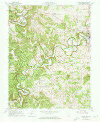
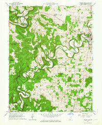
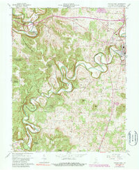
Editions of this 1962 Corydon West Map
5 editions found
Other maps of this area

1931 · Corydon
USGS Topo · 1:62,500

1944 · Corydon West
USGS Topo · 1:24,000

1946 · Leavenworth
USGS Topo · 1:24,000

1946 · Depauw
USGS Topo · 1:24,000

1947 · Leavenworth
USGS Topo · 1:24,000

1947 · Corydon West
USGS Topo · 1:24,000

1947 · Mauckport
USGS Topo · 1:24,000

1948 · Corydon East
USGS Topo · 1:24,000

1948 · Milltown
USGS Topo · 1:24,000

1948 · Laconia
USGS Topo · 1:24,000