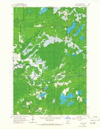
1956 Map of Cotton
USGS Topo · Published 1967About this map
The Whiteface River snakes through this St. Louis County landscape, defining a region where water and rail dictate the patterns of human settlement. In the mid-1950s, the small community of Cotton serves as a central point along the highway, while further north, the hamlet of Melrude sits adjacent to the Duluth Winnipeg and Pacific railroad tracks. This line cuts a diagonal path through the Cloquet Valley and Ellsburg townships, connecting the iron range to the ports of Lake Superior. The terrain is a dense network of wetlands and glacial lakes, including Strand Lake, Dinham Lake, and Kauppi Lake. Local history is anchored by landmarks like County Sch No 100 and the Riverview Cem, reflecting the civic life of rural families in this wooded expanse of northern Minnesota.
Find a feature on this map
22 named features on this map. Tap any name to fly to it.
Don’t see what you’re looking for? This feature index may not catch every label — zoom into the map to look around manually.
Map Details
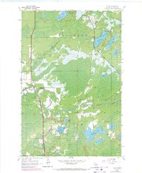
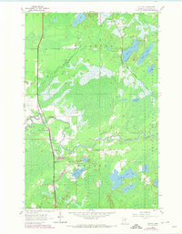
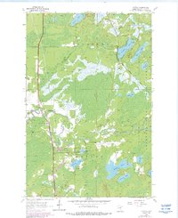
Editions of this 1956 Cotton Map
5 editions found
Other maps of this area

1951 · Central Lakes
USGS Topo · 1:24,000

1951 · Zim
USGS Topo · 1:24,000

1951 · Makinen
USGS Topo · 1:24,000

1953 · Canyon
USGS Topo · 1:24,000

1953 · Shaw
USGS Topo · 1:24,000

1953 · Payne
USGS Topo · 1:24,000

1954 · Hibbing
USGS Topo · 1:250,000

1956 · Cotton
USGS Topo · 1:24,000

1956 · Whiteface
USGS Topo · 1:24,000

1957 · Hibbing
USGS Topo · 1:250,000