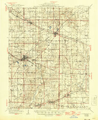
1917 Map of Coulterville
USGS Topo · Published 1946About this map
Sparta and Coulterville serve as primary hubs within this landscape where agricultural traditions intersect with an expanding rail network during the mid-1940s. The map illustrates a dense grid of rural education, featuring dozens of local landmarks like Scotland School, Gravel Hill School, and McClinton School that once anchored these prairie communities. This 1944 revision reveals the critical role of transport in Southwestern Illinois, showing the Illinois Central Railroad and Mobile and Ohio Railroad cutting across the terrain to connect the settlements of Tilden, Marissa, and Steeleville. The survey provides an intricate view of the local drainage systems, tracing Doza Creek and Marys River through the Grande Cote Prairie, offering a clear picture of the land before modern development consolidated these small townships and school districts.
Find a feature on this map
85 named features on this map. Tap any name to fly to it.
Don’t see what you’re looking for? This feature index may not catch every label — zoom into the map to look around manually.
Map Details
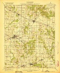
Editions of this 1917 Coulterville Map
3 editions found
Other maps of this area

1910 · Murphysboro
USGS Topo · 1:62,500

1910 · Okawville
USGS Topo · 1:62,500

1912 · New Athens
USGS Topo · 1:62,500

1912 · Baldwin
USGS Topo · 1:62,500

1914 · Baldwin
USGS Topo · 1:62,500

1914 · Coulterville
USGS Topo · 1:62,500

1915 · Chester
USGS Topo · 1:62,500

1916 · Campbell Hill
USGS Topo · 1:62,500

1917 · Coulterville
USGS Topo · 1:62,500

1918 · Campbell Hill
USGS Topo · 1:62,500